Transport Functions
Multimodal
Hub Profile
Place type
Populated place
Region
Mecklenburg-Vorpommern
Population
2,942
Time zone
Europe/Berlin
Elevation
3 m
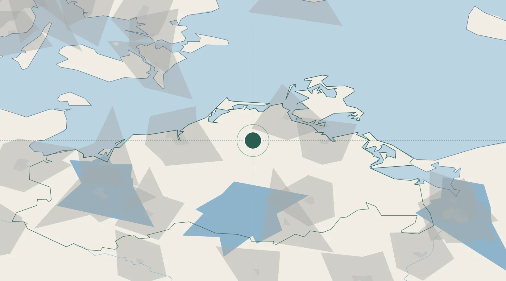
Location
Nearby Logistics Neighbours
Cities
- 1Grimmen19 km
- 2Karnin22 km
- 3Plummendorf23 km
- 4Dargun25 km
- 5Petersdorf25 km
Airports
Trade Zones
- 1Swinoujscie Duty Free Zone101 km
- 2Szczecin Duty Free Zone141 km
- 3MTS Malmö Transport and Spedition169 km
- 4Freeport of Kiel171 km
- 5Freeport of Copenhagen- Nordhavn180 km
DatabookThe Record of Consolidated Knowledge
Germany beyond logistics?