Seaport · Germany

SassnitzDESAS

54.5167°, 13.6500°
9.4 m
Channel depth
8.4
Port liner connectivity

Channel & Berth Profile

SEA LEVEL (CD)CHANNEL BEDCargo pier · 3.4 mChannel · 9.4 mAnchorage · 11.0 m
NGA World Port Index

Pilotage, Tugs & Services

Pilotage compulsoryYES
Pilotage availableYES
Tug assistanceYES
Potable waterYES
Diesel bunkersYES
MedicalYES
NGA World Port Index

Facilities & Capabilities

ContainerYES
Ro-RoYES
Liquid bulkYES
Dry bulkYES
Oil terminalNO
Break bulkYES
Dry dock
RepairsNO
BunkeringYES
Rail linkYES
Dangerous cargo
ISPS security
NGA World Port Index

Harbour Specifications

Harbour size
Very Small
NGA World Port Index
Harbour type
Open Roadstead
NGA World Port Index
Shelter
Good
NGA World Port Index
Water body
Baltic Sea; North Atlantic Ocean
NGA World Port Index
Tidal range
15 m
NGA World Port Index
Pilotage
Yes
NGA World Port Index

Liner Connectivity

8.4
PLSCI

Port Liner Shipping Connectivity Index for Sassnitz, as published by UNCTAD for the latest available quarter. Higher values indicate stronger scheduled liner-shipping integration.

Shown relative to the highest per-port PLSCI in the dataset (1,657.9).
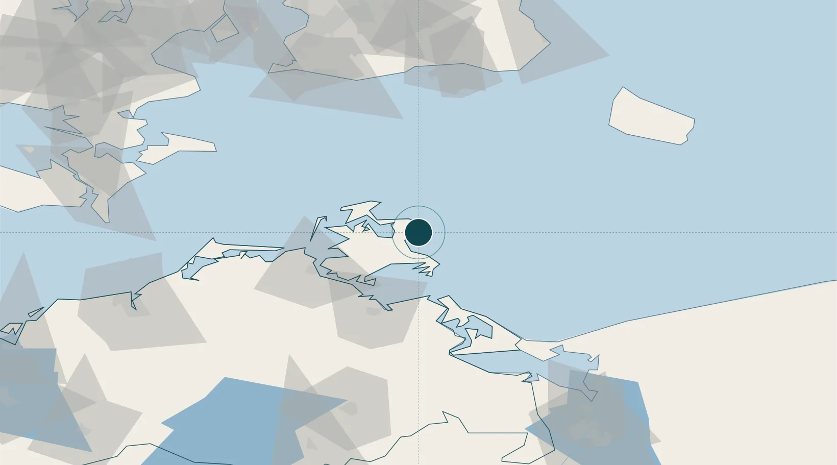
UNCTAD · Port Liner Shipping Connectivity Index

Location

Location of DESAS
Natural Earth 10m (public domain) · Mecklenburg-Vorpommern · DESAS · 54.52, 13.65GoogleOSMYandex

Nearby Logistics Neighbours

Ports
  1. 1Stralsund42 km
  2. 2Wolgast53 km
  3. 3Swinoujscie78 km
  4. 4Ronne94 km
  5. 5Trelleborg99 km
Nearest neighbours — logibook spatial index (haversine) over the source coordinates
Cities
  1. 1Marlow7 km
  2. 2Binz13 km
  3. 3Ostseebad Goehren21 km
  4. 4Altenkirchen (Rügen)24 km
  5. 5Gager24 km
Nearest neighbours — logibook spatial index (haversine) over the source coordinates
Airports
  1. 1Heringsdorf Airport78 km
  2. 2Bornholm Airport94 km
  3. 3Neubrandenburg Trollenhagen Airport104 km
  4. 4Rostock-Laage Airport111 km
  5. 5Malmö Sturup Airport115 km
Nearest neighbours — logibook spatial index (haversine) over the source coordinates
Trade Zones
  1. 1Swinoujscie Duty Free Zone80 km
  2. 2MTS Malmö Transport and Spedition126 km
  3. 3Szczecin Duty Free Zone136 km
  4. 4Freeport of Copenhagen- Nordhavn149 km
  5. 5Słupsk SEZ (Słupska SSE)218 km
Nearest neighbours — logibook spatial index (haversine) over the source coordinates
DatabookThe Record of Consolidated Knowledge
Germany beyond logistics?
Browse databook

All Sources

Portsthe NGA World Port Index
Public domain (US gov)
Logistics performanceUNCTAD
CC BY 3.0 IGO
AirportsOurAirports
Public domain
LocationsUN/LOCODE
UN/LOCODE — free
Trade Zonesthe World Bank SEZ database
CC BY 4.0
Trade ZonesOpen Zone Map
CC BY
← Germany ports