Transport Functions
Multimodal
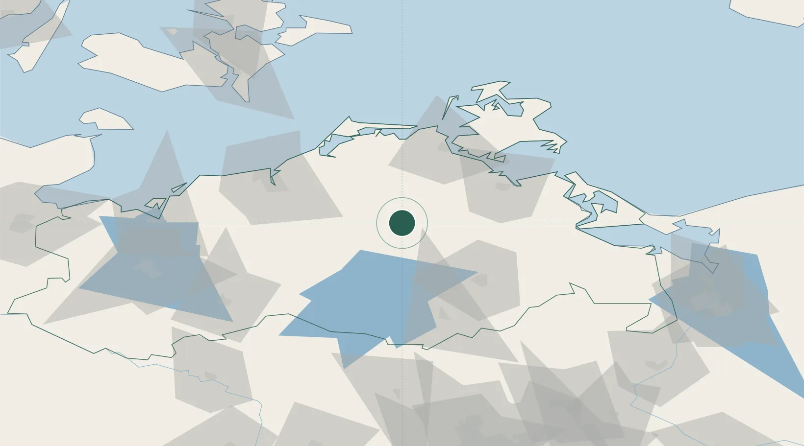
Hub Profile
Place type
Populated place
Region
Mecklenburg-Vorpommern
Population
3,570
Time zone
Europe/Berlin
Elevation
19 m
Location
Nearby Logistics Neighbours
Cities
- 1Demmin13 km
- 2Reuterstadt Stavenhagen21 km
- 3Loitz (Demmin)22 km
- 4Teterow22 km
- 5Kletzin23 km
Airports
Trade Zones
- 1Swinoujscie Duty Free Zone95 km
- 2Szczecin Duty Free Zone126 km
- 3Freeport of Kiel181 km
- 4Kostrzyń-Słubice SEZ187 km
- 5MTS Malmö Transport and Spedition192 km
DatabookThe Record of Consolidated Knowledge
Germany beyond logistics?