Transport Functions
Port
Road
Hub Profile
Place type
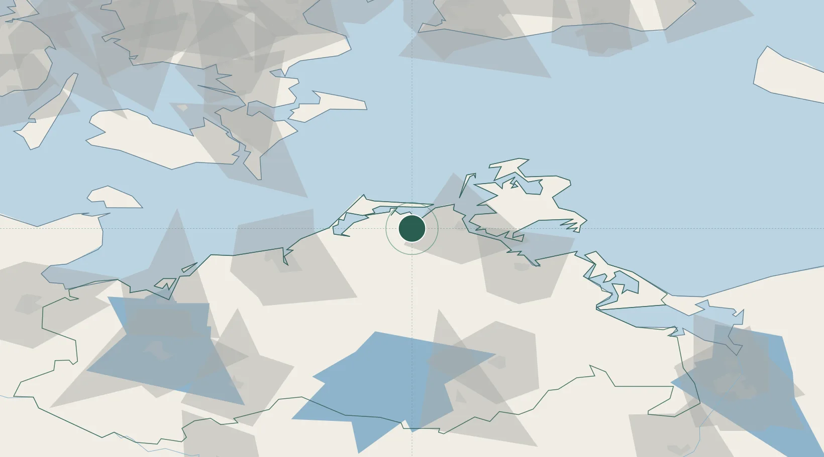
Populated place
Region
Mecklenburg-Vorpommern
Population
261
Time zone
Europe/Berlin
Elevation
7 m
Location
Nearby Logistics Neighbours
Cities
- 1Pruchten13 km
- 2Zingst17 km
- 3Plummendorf19 km
- 4Langendamm22 km
- 5Tribsees22 km
Airports
- 1Rostock-Laage Airport54 km
- 2Neubrandenburg Trollenhagen Airport84 km
- 3Lolland Falster Maribo Airport99 km
- 4Heringsdorf Airport100 km
- 5Ringsted Airfield140 km
Trade Zones
- 1Swinoujscie Duty Free Zone106 km
- 2MTS Malmö Transport and Spedition146 km
- 3Szczecin Duty Free Zone152 km
- 4Freeport of Copenhagen- Nordhavn158 km
- 5Freeport of Kiel170 km
DatabookThe Record of Consolidated Knowledge
Germany beyond logistics?