Transport Functions
Port
Rail
Road
Hub Profile
Place type
Populated place
Region
Mecklenburg-Vorpommern
Population
10,671
Time zone
Europe/Berlin
Elevation
8 m
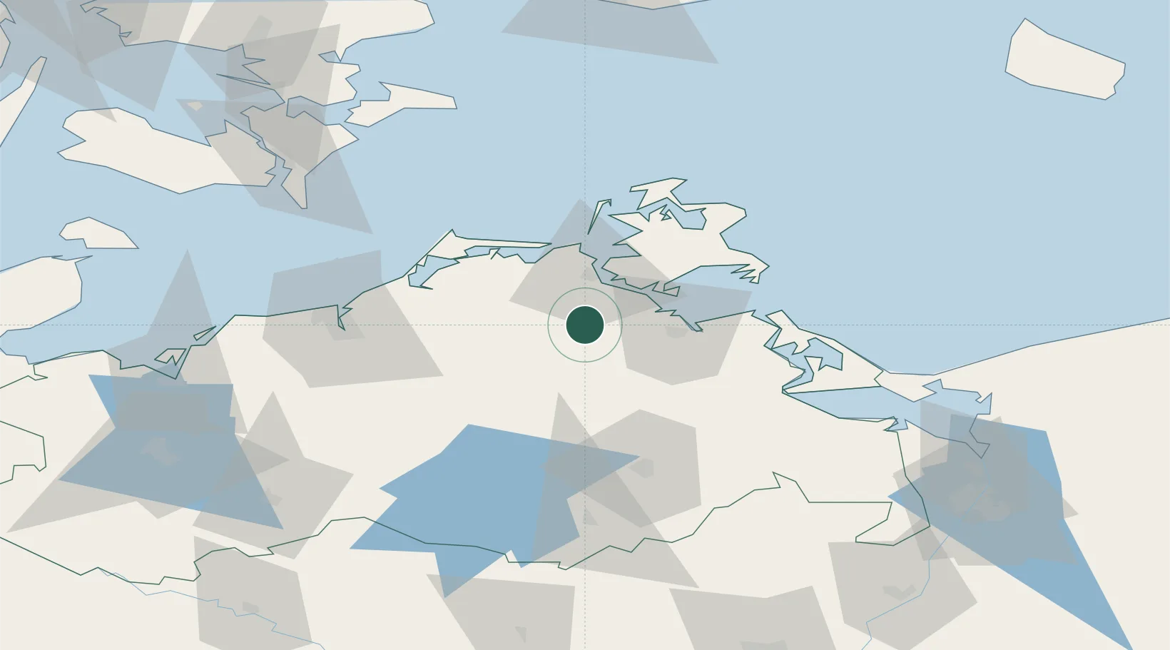
Location
Nearby Logistics Neighbours
Cities
- 1Loitz (Demmin)18 km
- 2Tribsees19 km
- 3Stahlbrode20 km
- 4Görmin21 km
- 5Kletzin22 km
Ports
- 1Stralsund23 km
- 2Wolgast48 km
- 3Sassnitz59 km
- 4Rostock60 km
- 5Swinoujscie83 km
Airports
Trade Zones
- 1Swinoujscie Duty Free Zone84 km
- 2Szczecin Duty Free Zone127 km
- 3MTS Malmö Transport and Spedition166 km
- 4Freeport of Copenhagen- Nordhavn180 km
- 5Freeport of Kiel189 km
DatabookThe Record of Consolidated Knowledge
Germany beyond logistics?