Transport Functions
Port
Rail
Road
Hub Profile
Place type
District seat
Region
Lower Saxony
Population
123,064
Time zone
Europe/Berlin
Elevation
62 m
Logistics facilities
1
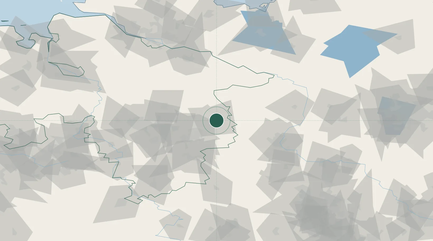
Location
Nearby Logistics Neighbours
Cities
- 1Osloss9 km
- 2Hinternah10 km
- 3Oebisfelde13 km
- 4Isenbüttel15 km
- 5Gifhorn18 km
Airports
- 1Braunschweig-Wolfsburg Airport20 km
- 2Celle Army Airfield55 km
- 3Faßberg Air Base68 km
- 4Hannover Airport75 km
- 5Wunstorf Air Base93 km
Trade Zones
DatabookThe Record of Consolidated Knowledge
Germany beyond logistics?