Transport Functions
Port
Road
Hub Profile
Place type
Local administrative seat
Region
Lower Saxony
Population
1,990
Time zone
Europe/Berlin
Elevation
57 m
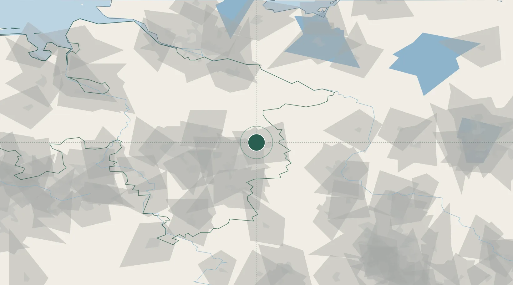
Location
Nearby Logistics Neighbours
Cities
- 1Wolfsburg9 km
- 2Isenbüttel9 km
- 3Gifhorn9 km
- 4Hinternah10 km
- 5Abbesbüttel15 km
Ports
- 1Hamburg131 km
- 2Bremen149 km
- 3Butzfleth153 km
- 4Lubeck158 km
- 5Lubeck-Travemunde167 km
Airports
- 1Braunschweig-Wolfsburg Airport19 km
- 2Celle Army Airfield47 km
- 3Faßberg Air Base61 km
- 4Hannover Airport68 km
- 5Wunstorf Air Base85 km
Trade Zones
DatabookThe Record of Consolidated Knowledge
Germany beyond logistics?