Transport Functions
Multimodal
Hub Profile
Place type
Local administrative seat
Region
Bavaria
Population
3,946
Time zone
Europe/Berlin
Elevation
241 m
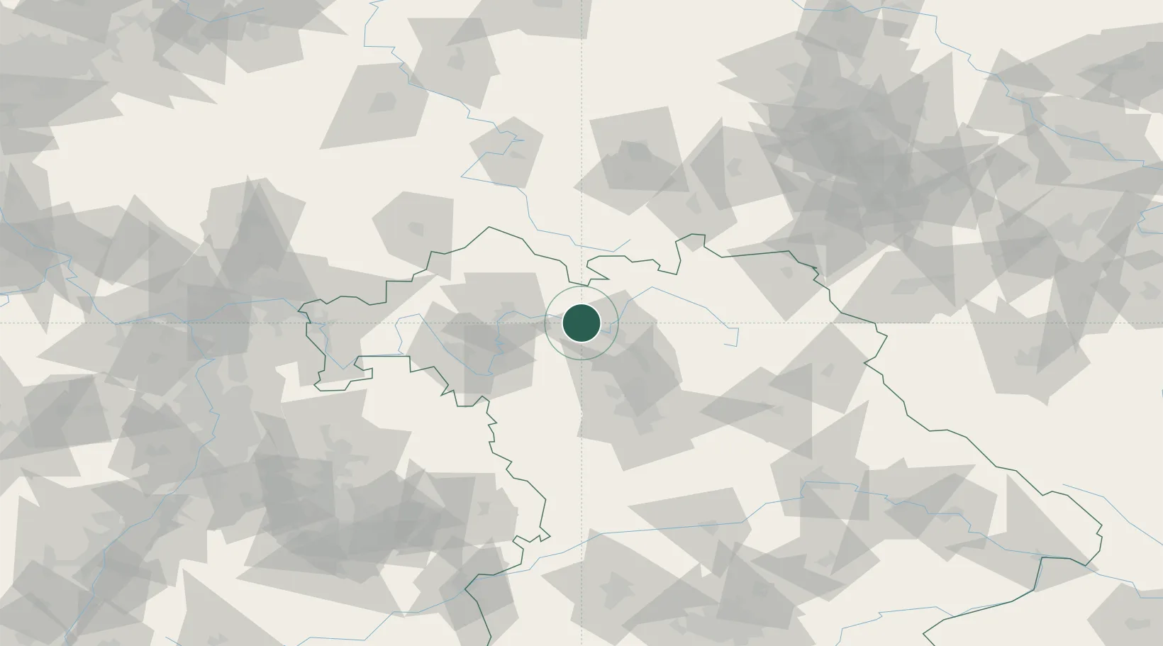
Location
Nearby Logistics Neighbours
Cities
- 1Ottendorf3 km
- 2Pettstadt (Hasharpberge)8 km
- 3Knetzgau10 km
- 4Oberhaid12 km
- 5Breitenguessbach14 km
Airports
- 1Bamberg-Breitenau Airfield18 km
- 2Nuremberg Airport61 km
- 3Bayreuth Airport68 km
- 4Niederstetten Army Air Base84 km
- 5Hof-Plauen Airport90 km
Trade Zones
- 1Podbořany Industrial Zone196 km
- 2Freeport of Deggendorf204 km
- 3Žatec - Triangle Strategic Industrial Zone207 km
- 4Most - Joseph Industrial Zone218 km
- 5ZFU Neuhof266 km
DatabookThe Record of Consolidated Knowledge
Germany beyond logistics?