UN/LOCODE hub · Germany
DEPTT

Pettstadt (Hasharpberge)

50.0500°, 10.7000°
2
Transport functions

Transport Functions

Road
Multimodal
UN/LOCODE

Hub Profile

Region
BY
GeoNames

Location

Location of DEPTT
Natural Earth 10m (public domain) · BY · DEPTT · 50.05, 10.70GoogleOSMYandex

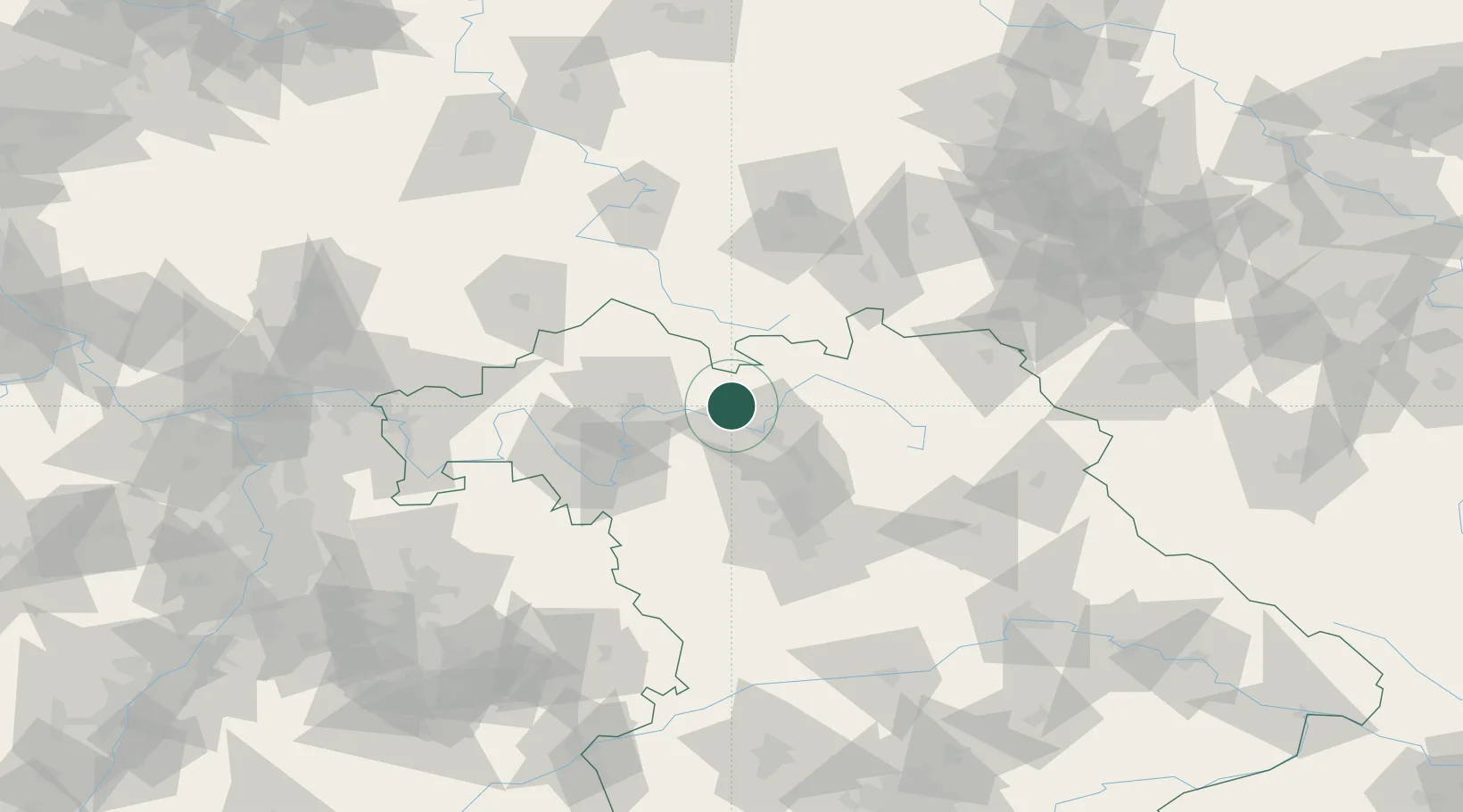
Nearby Logistics Neighbours

Cities
  1. 1Ebelsbach8 km
  2. 2Ottendorf9 km
  3. 3Königsberg in Bayern10 km
  4. 4Knetzgau13 km
  5. 5Hofheim in Unterfranken16 km
Nearest neighbours — logibook spatial index (haversine) over the source coordinates
Ports
  1. 1Bremen368 km
  2. 2Oldenburg382 km
  3. 3Elsfleth386 km
  4. 4Hamburg393 km
  5. 5Brake396 km
Nearest neighbours — logibook spatial index (haversine) over the source coordinates
Airports
  1. 1Bamberg-Breitenau Airfield21 km
  2. 2Nuremberg Airport67 km
  3. 3Bayreuth Airport68 km
  4. 4Hof-Plauen Airport86 km
  5. 5Niederstetten Army Air Base91 km
Nearest neighbours — logibook spatial index (haversine) over the source coordinates
Trade Zones
  1. 1Podbořany Industrial Zone194 km
  2. 2Žatec - Triangle Strategic Industrial Zone205 km
  3. 3Freeport of Deggendorf208 km
  4. 4Most - Joseph Industrial Zone215 km
  5. 5ZFU Neuhof271 km
Nearest neighbours — logibook spatial index (haversine) over the source coordinates
DatabookThe Record of Consolidated Knowledge
Germany beyond logistics?
Browse databook

All Sources

LocationsUN/LOCODE
UN/LOCODE — free
Portsthe NGA World Port Index
Public domain (US gov)
AirportsOurAirports
Public domain
Trade Zonesthe World Bank SEZ database
CC BY 4.0
Trade ZonesOpen Zone Map
CC BY
← Germany locations