Transport Functions
Multimodal
Hub Profile
Place type
Local administrative seat
Region
Bavaria
Time zone
Europe/Berlin
Elevation
240 m
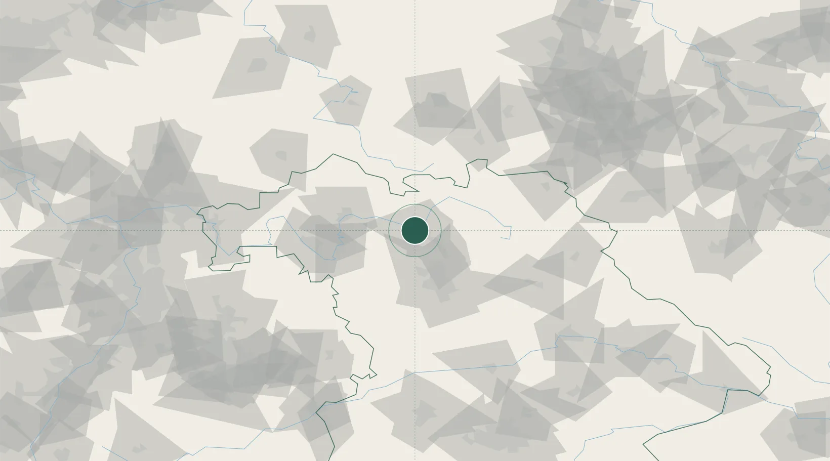
Location
Nearby Logistics Neighbours
Cities
- 1Bamberg4 km
- 2Breitenguessbach5 km
- 3Ottendorf9 km
- 4Hirschaid11 km
- 5Ebelsbach12 km
Airports
- 1Bamberg-Breitenau Airfield7 km
- 2Nuremberg Airport50 km
- 3Bayreuth Airport59 km
- 4Grafenwöhr Army Air Field84 km
- 5Hof-Plauen Airport85 km
Trade Zones
- 1Podbořany Industrial Zone188 km
- 2Freeport of Deggendorf192 km
- 3Žatec - Triangle Strategic Industrial Zone200 km
- 4Most - Joseph Industrial Zone211 km
- 5ZFU Neuhof269 km
DatabookThe Record of Consolidated Knowledge
Germany beyond logistics?