Transport Functions
Port
Hub Profile
Place type
Populated place
Region
Bavaria
Time zone
Europe/Berlin
Elevation
253 m
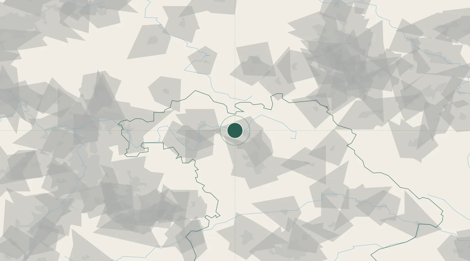
Location
Nearby Logistics Neighbours
Cities
- 1Ebelsbach3 km
- 2Oberhaid9 km
- 3Pettstadt (Hasharpberge)9 km
- 4Breitenguessbach11 km
- 5Knetzgau12 km
Airports
- 1Bamberg-Breitenau Airfield15 km
- 2Nuremberg Airport58 km
- 3Bayreuth Airport66 km
- 4Niederstetten Army Air Base84 km
- 5Hof-Plauen Airport89 km
Trade Zones
- 1Podbořany Industrial Zone194 km
- 2Freeport of Deggendorf201 km
- 3Žatec - Triangle Strategic Industrial Zone206 km
- 4Most - Joseph Industrial Zone216 km
- 5ZFU Neuhof267 km
DatabookThe Record of Consolidated Knowledge
Germany beyond logistics?