Transport Functions
Road
Multimodal
Hub Profile
Region
BY
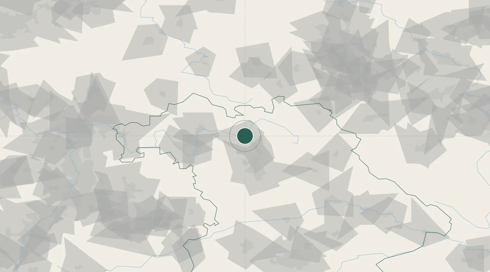
Location
Nearby Logistics Neighbours
Cities
- 1Bamberg4 km
- 2Oberhaid5 km
- 3Zapfendorf10 km
- 4Ottendorf11 km
- 5Ebelsbach14 km
Airports
- 1Bamberg-Breitenau Airfield5 km
- 2Nuremberg Airport52 km
- 3Bayreuth Airport55 km
- 4Hof-Plauen Airport80 km
- 5Grafenwöhr Army Air Field82 km
Trade Zones
- 1Podbořany Industrial Zone184 km
- 2Freeport of Deggendorf192 km
- 3Žatec - Triangle Strategic Industrial Zone196 km
- 4Most - Joseph Industrial Zone206 km
- 5ZFU Neuhof274 km
DatabookThe Record of Consolidated Knowledge
Germany beyond logistics?