Transport Functions
Port
Rail
Road
Hub Profile
Place type
District seat
Region
Saxony
Population
28,492
Time zone
Europe/Berlin
Elevation
109 m
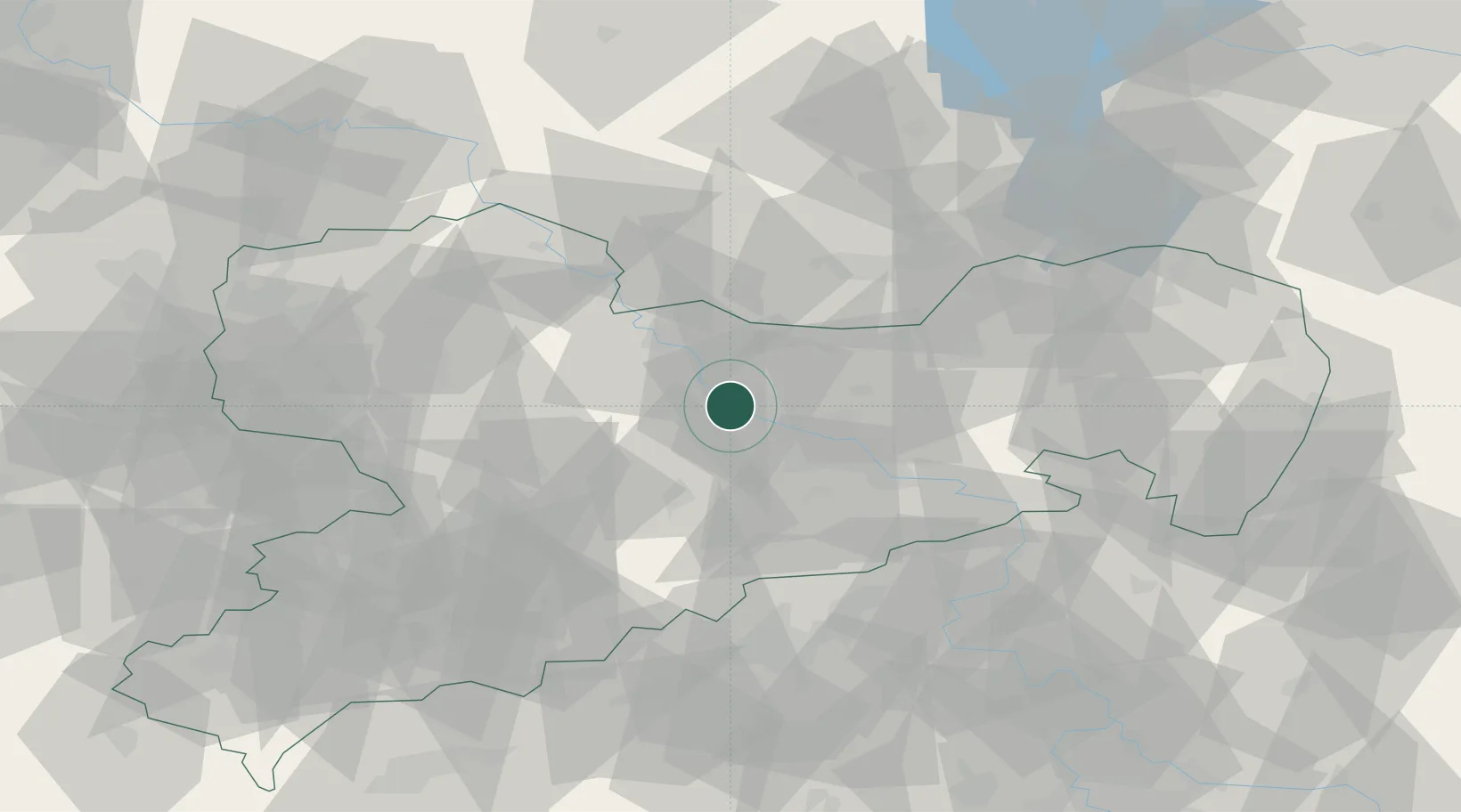
Location
Nearby Logistics Neighbours
Cities
- 1Sörnewitz3 km
- 2Oracov5 km
- 3Niederau (Meisharpen)5 km
- 4Zehren8 km
- 5Nieschütz10 km
Ports
- 1Szczecin262 km
- 2Police279 km
- 3Swinoujscie312 km
- 4Wolgast323 km
- 5Wismar335 km
Airports
- 1Dresden Airport20 km
- 2Leipzig–Altenburg Airport71 km
- 3Holzdorf Air Base72 km
- 4Leipzig/Halle Airport92 km
- 5Rothenburg/Görlitz Airfield105 km
Trade Zones
DatabookThe Record of Consolidated Knowledge
Germany beyond logistics?