Transport Functions
Rail
Road
Hub Profile
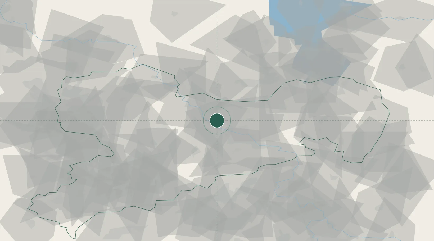
Region
SN
Location
Nearby Logistics Neighbours
Ports
- 1Szczecin258 km
- 2Police274 km
- 3Swinoujscie308 km
- 4Wolgast319 km
- 5Wismar333 km
Airports
- 1Dresden Airport17 km
- 2Holzdorf Air Base70 km
- 3Leipzig–Altenburg Airport75 km
- 4Leipzig/Halle Airport94 km
- 5Rothenburg/Görlitz Airfield101 km
Trade Zones
DatabookThe Record of Consolidated Knowledge
Germany beyond logistics?