UN/LOCODE hub · Germany
DEZCH

Schillingsfürst (Ansbach)

49.2833°, 10.2667°
2
Transport functions

Transport Functions

Road
Multimodal
UN/LOCODE

Hub Profile

Region
BY
GeoNames

Location

Location of DEZCH
Natural Earth 10m (public domain) · BY · DEZCH · 49.28, 10.27GoogleOSMYandex

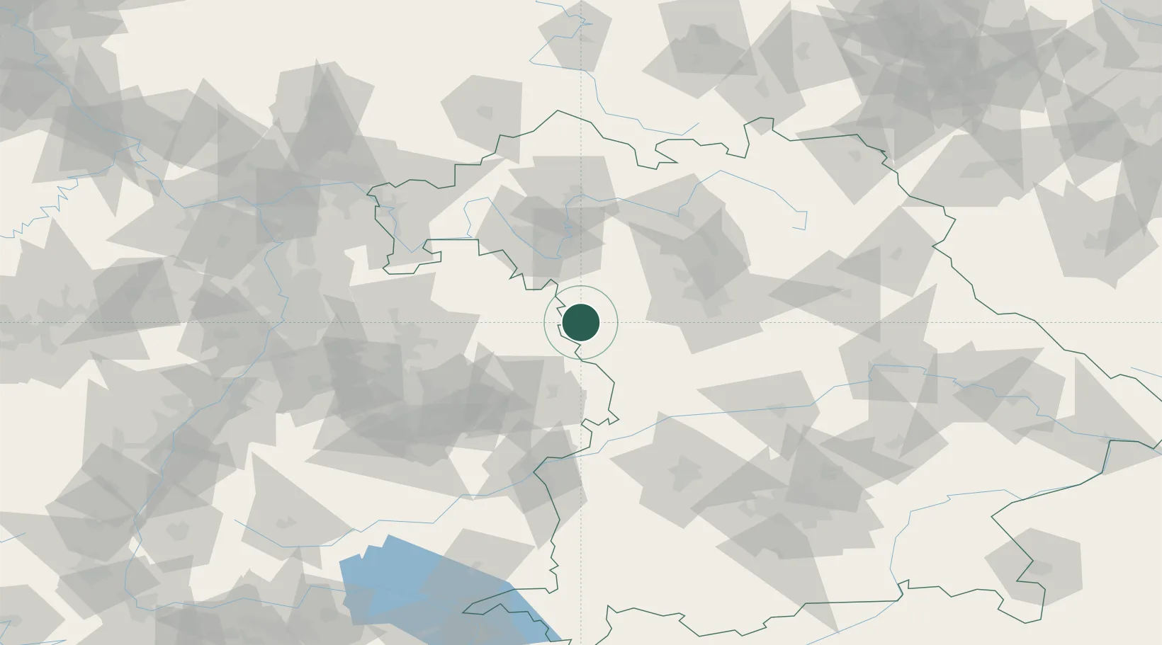
Nearby Logistics Neighbours

Cities
  1. 1Dombühl4 km
  2. 2Insingen8 km
  3. 3Gebsattel9 km
  4. 4Leutershausen (Ansbach)11 km
  5. 5Feuchtwangen14 km
Nearest neighbours — logibook spatial index (haversine) over the source coordinates
Ports
  1. 1Bremen441 km
  2. 2Nogaro448 km
  3. 3Oldenburg450 km
  4. 4Elsfleth457 km
  5. 5Grado459 km
Nearest neighbours — logibook spatial index (haversine) over the source coordinates
Airports
  1. 1Niederstetten Army Air Base26 km
  2. 2Adolf Würth Airport40 km
  3. 3Nuremberg Airport63 km
  4. 4Bamberg-Breitenau Airfield85 km
  5. 5Neuburg Air Base94 km
Nearest neighbours — logibook spatial index (haversine) over the source coordinates
Trade Zones
  1. 1Freeport of Deggendorf198 km
  2. 2ZFU Neuhof201 km
  3. 3ZFU Hautepierre203 km
  4. 4ZFU La Cité Behren-lès-Forbach243 km
  5. 5Podbořany Industrial Zone249 km
Nearest neighbours — logibook spatial index (haversine) over the source coordinates
DatabookThe Record of Consolidated Knowledge
Germany beyond logistics?
Browse databook

All Sources

LocationsUN/LOCODE
UN/LOCODE — free
Portsthe NGA World Port Index
Public domain (US gov)
AirportsOurAirports
Public domain
Trade Zonesthe World Bank SEZ database
CC BY 4.0
Trade ZonesOpen Zone Map
CC BY
← Germany locations