Transport Functions
Port
Road
Hub Profile
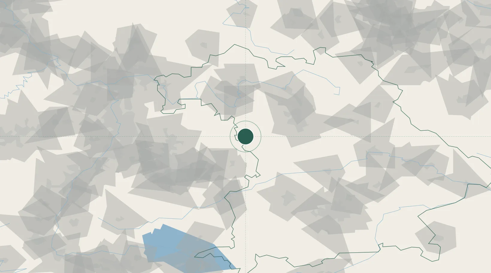
Place type
Populated place
Region
Bavaria
Population
1,660
Time zone
Europe/Berlin
Elevation
473 m
Location
Nearby Logistics Neighbours
Cities
- 1Schillingsfürst (Ansbach)4 km
- 2Feuchtwangen10 km
- 3Insingen10 km
- 4Leutershausen (Ansbach)11 km
- 5Gebsattel13 km
Ports
- 1Nogaro444 km
- 2Bremen445 km
- 3Oldenburg453 km
- 4Grado455 km
- 5Porto Di Lido-Venezia456 km
Airports
- 1Niederstetten Army Air Base28 km
- 2Adolf Würth Airport39 km
- 3Nuremberg Airport64 km
- 4Bamberg-Breitenau Airfield87 km
- 5Neuburg Air Base90 km
Trade Zones
- 1Freeport of Deggendorf196 km
- 2ZFU Neuhof200 km
- 3ZFU Hautepierre203 km
- 4ZFU La Cité Behren-lès-Forbach244 km
- 5Podbořany Industrial Zone249 km
DatabookThe Record of Consolidated Knowledge
Germany beyond logistics?