UN/LOCODE hub · Germany
DEZGD
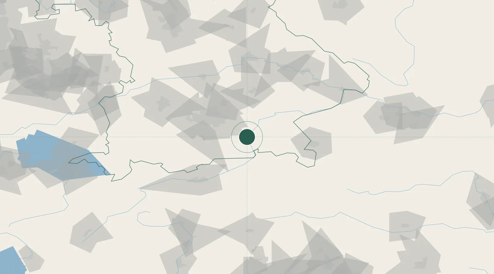
Grosskarolinenfeld
47.9000°, 12.0833°
6,865
Population
1
Transport functions
Transport Functions
Multimodal
Hub Profile
Place type
Local administrative seat
Region
Bavaria
Population
6,865
Time zone
Europe/Berlin
Elevation
468 m
Location
Nearby Logistics Neighbours
Cities
- 1Schechen5 km
- 2Prutting9 km
- 3Stephanskirchen9 km
- 4Heufeld10 km
- 5Bruckmühl13 km
Ports
- 1Nogaro252 km
- 2Monfalcone260 km
- 3Grado262 km
- 4Porto Di Lido-Venezia277 km
- 5Trieste280 km
Airports
- 1Munich Airport55 km
- 2Oberpfaffenhofen Airport63 km
- 3Landshut Airfield68 km
- 4Salzburg Airport70 km
- 5Altstetten Ultralight Field74 km
Trade Zones
DatabookThe Record of Consolidated Knowledge
Germany beyond logistics?