UN/LOCODE hub · Germany
DESYN

Schechen

47.9333°, 12.1333°
4,430
Population
1
Transport functions

Transport Functions

Multimodal
UN/LOCODE

Hub Profile

Place type
Local administrative seat
GeoNames
Region
Bavaria
GeoNames
Population
4,430
GeoNames
Time zone
Europe/Berlin
GeoNames
Elevation
441 m
GeoNames

Location

Location of DESYN
Natural Earth 10m (public domain) · Bavaria · DESYN · 47.93, 12.13GoogleOSMYandex

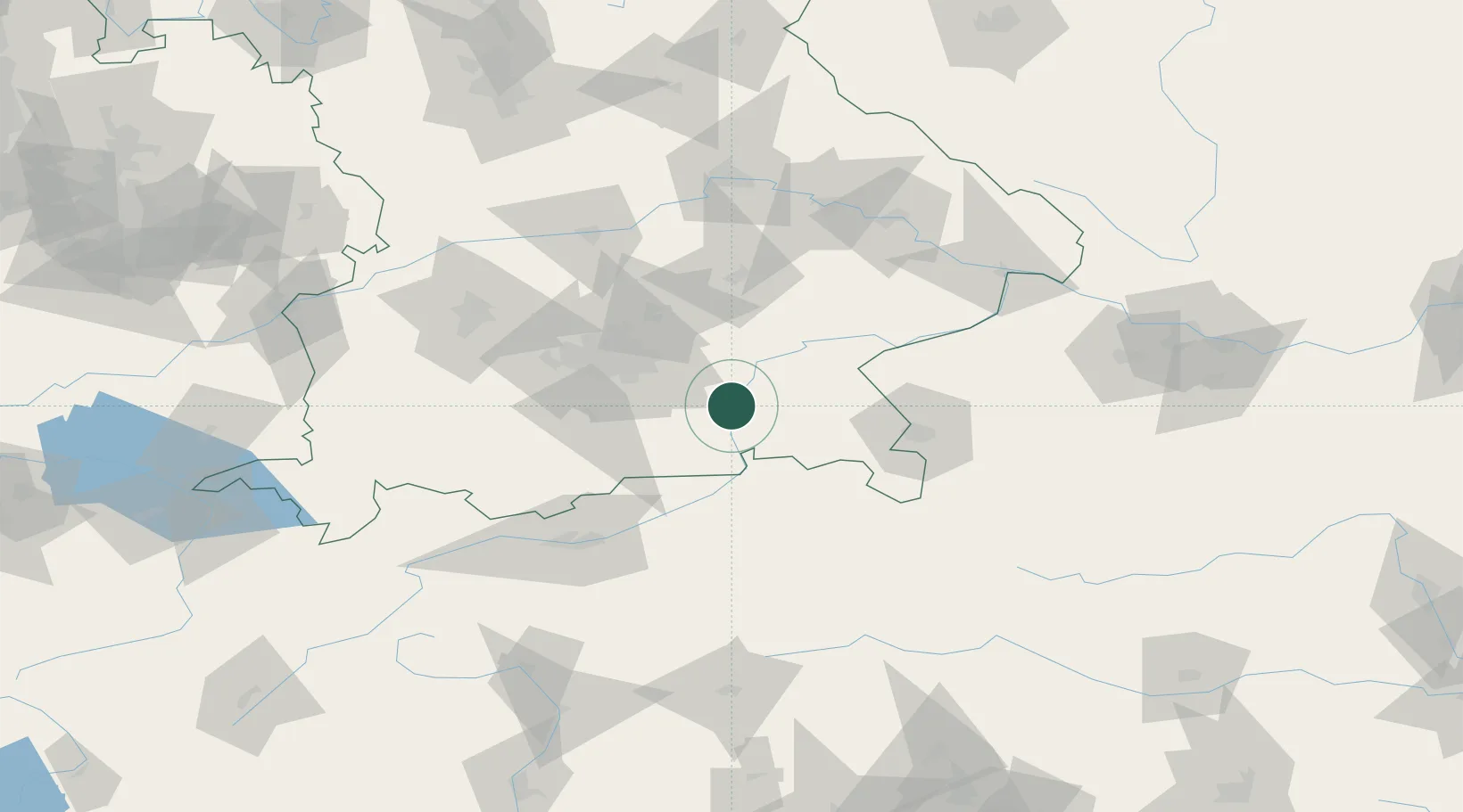
Nearby Logistics Neighbours

Cities
  1. 1Grosskarolinenfeld5 km
  2. 2Prutting6 km
  3. 3Stephanskirchen10 km
  4. 4Halfing11 km
  5. 5Limburg12 km
Nearest neighbours — logibook spatial index (haversine) over the source coordinates
Ports
  1. 1Nogaro254 km
  2. 2Monfalcone262 km
  3. 3Grado264 km
  4. 4Porto Di Lido-Venezia281 km
  5. 5Trieste282 km
Nearest neighbours — logibook spatial index (haversine) over the source coordinates
Airports
  1. 1Munich Airport53 km
  2. 2Landshut Airfield65 km
  3. 3Oberpfaffenhofen Airport65 km
  4. 4Salzburg Airport67 km
  5. 5Altstetten Ultralight Field75 km
Nearest neighbours — logibook spatial index (haversine) over the source coordinates
Trade Zones
  1. 1Freeport of Deggendorf117 km
  2. 2Livigno Free Trade Zone219 km
  3. 3Podbořany Industrial Zone271 km
  4. 4Free Port of Venice279 km
  5. 5Free Port of Trieste283 km
Nearest neighbours — logibook spatial index (haversine) over the source coordinates
DatabookThe Record of Consolidated Knowledge
Germany beyond logistics?
Browse databook

All Sources

LocationsUN/LOCODE
UN/LOCODE — free
LocationsGeoNames
CC BY 4.0
Portsthe NGA World Port Index
Public domain (US gov)
AirportsOurAirports
Public domain
Trade Zonesthe World Bank SEZ database
CC BY 4.0
Trade ZonesOpen Zone Map
CC BY
← Germany locations