Transport Functions
Multimodal
Hub Profile
Place type
Populated place
Region
Bavaria
Time zone
Europe/Berlin
Elevation
495 m
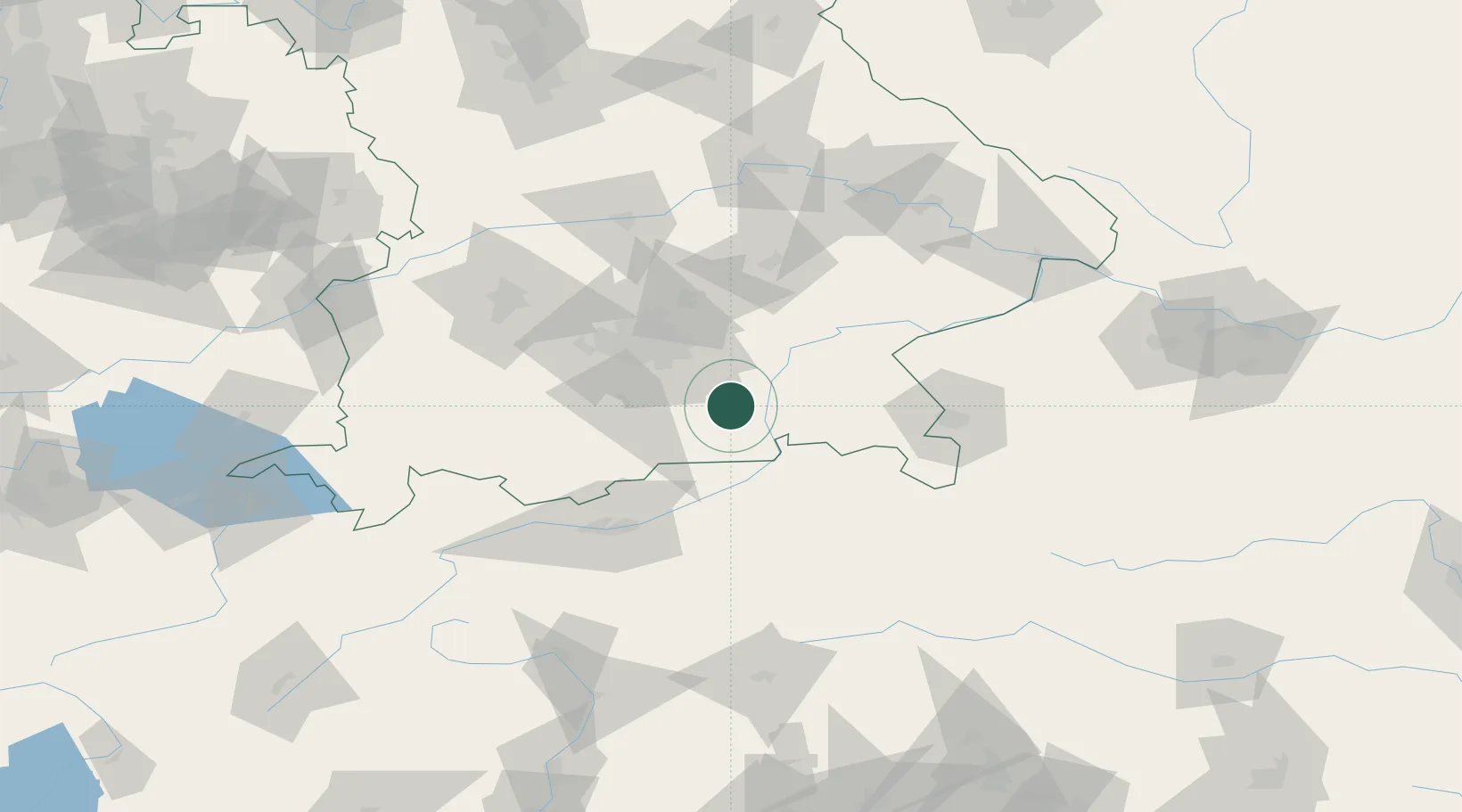
Location
Nearby Logistics Neighbours
Cities
- 1Bruckmühl4 km
- 2Irschenberg5 km
- 3Grosskarolinenfeld10 km
- 4Feldkirchen-Westerham11 km
- 5Schechen15 km
Ports
- 1Nogaro252 km
- 2Monfalcone261 km
- 3Grado262 km
- 4Porto Di Lido-Venezia275 km
- 5Trieste281 km
Airports
- 1Munich Airport56 km
- 2Oberpfaffenhofen Airport56 km
- 3Altstetten Ultralight Field70 km
- 4Landshut Airfield72 km
- 5Salzburg Airport78 km
Trade Zones
- 1Freeport of Deggendorf129 km
- 2Livigno Free Trade Zone205 km
- 3Free Port of Venice272 km
- 4Consorzio Zona Industriale e Porto Fluviale di Padova276 km
- 5Free Port of Trieste282 km
DatabookThe Record of Consolidated Knowledge
Germany beyond logistics?