Transport Functions
Multimodal
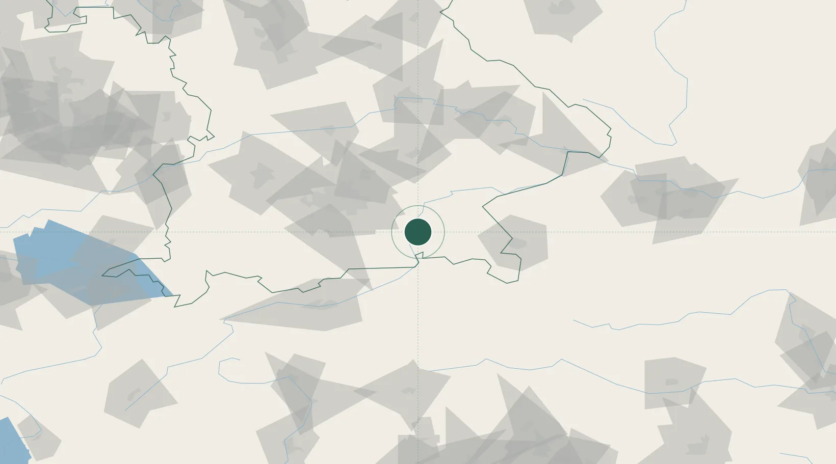
Hub Profile
Place type
Local administrative seat
Region
Bavaria
Population
2,325
Time zone
Europe/Berlin
Elevation
492 m
Location
Nearby Logistics Neighbours
Cities
- 1Stephanskirchen6 km
- 2Schechen6 km
- 3Halfing8 km
- 4Grosskarolinenfeld9 km
- 5Rimsting10 km
Ports
- 1Nogaro249 km
- 2Monfalcone257 km
- 3Grado259 km
- 4Trieste276 km
- 5Porto Di Lido-Venezia277 km
Airports
- 1Munich Airport59 km
- 2Salzburg Airport61 km
- 3Landshut Airfield69 km
- 4Oberpfaffenhofen Airport71 km
- 5Altstetten Ultralight Field82 km
Trade Zones
- 1Freeport of Deggendorf118 km
- 2Livigno Free Trade Zone220 km
- 3Podbořany Industrial Zone273 km
- 4Free Port of Venice275 km
- 5Free Port of Trieste277 km
DatabookThe Record of Consolidated Knowledge
Germany beyond logistics?