Transport Functions
Rail
Road
Hub Profile
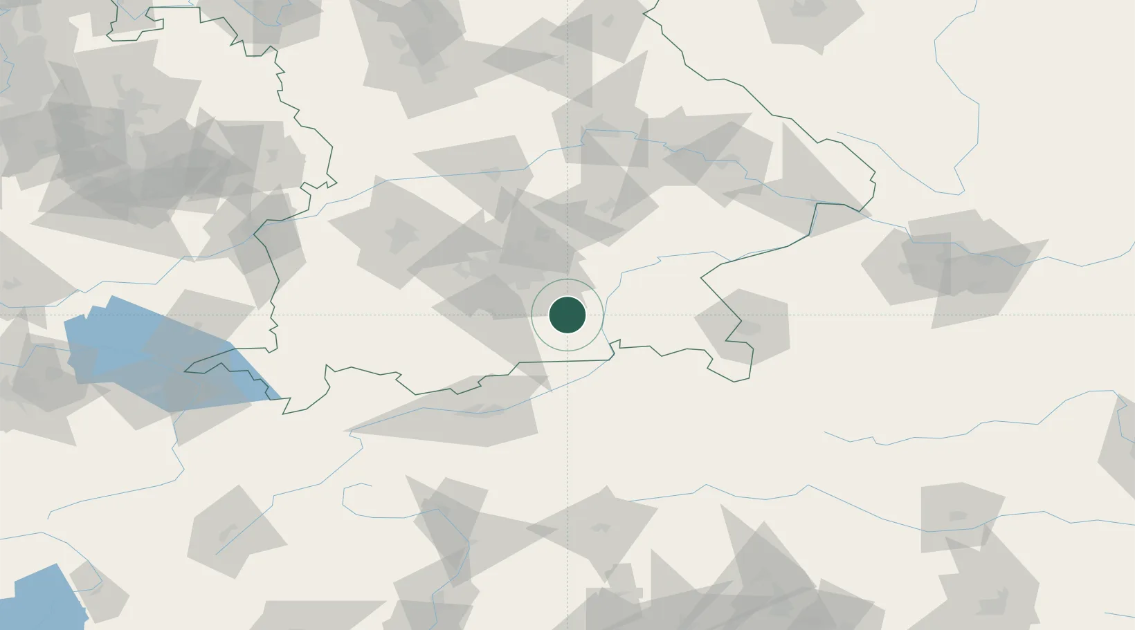
Place type
Populated place
Region
Bavaria
Population
15,851
Time zone
Europe/Berlin
Elevation
514 m
Location
Nearby Logistics Neighbours
Cities
- 1Heufeld4 km
- 2Irschenberg6 km
- 3Feldkirchen-Westerham7 km
- 4Grosshelfendorf11 km
- 5Glonn (Ebersberg)12 km
Ports
- 1Nogaro255 km
- 2Monfalcone265 km
- 3Grado265 km
- 4Porto Di Lido-Venezia277 km
- 5Trieste285 km
Airports
- 1Oberpfaffenhofen Airport52 km
- 2Munich Airport53 km
- 3Altstetten Ultralight Field66 km
- 4Landshut Airfield71 km
- 5Innsbruck Airport82 km
Trade Zones
DatabookThe Record of Consolidated Knowledge
Germany beyond logistics?