Transport Functions
Rail
Road
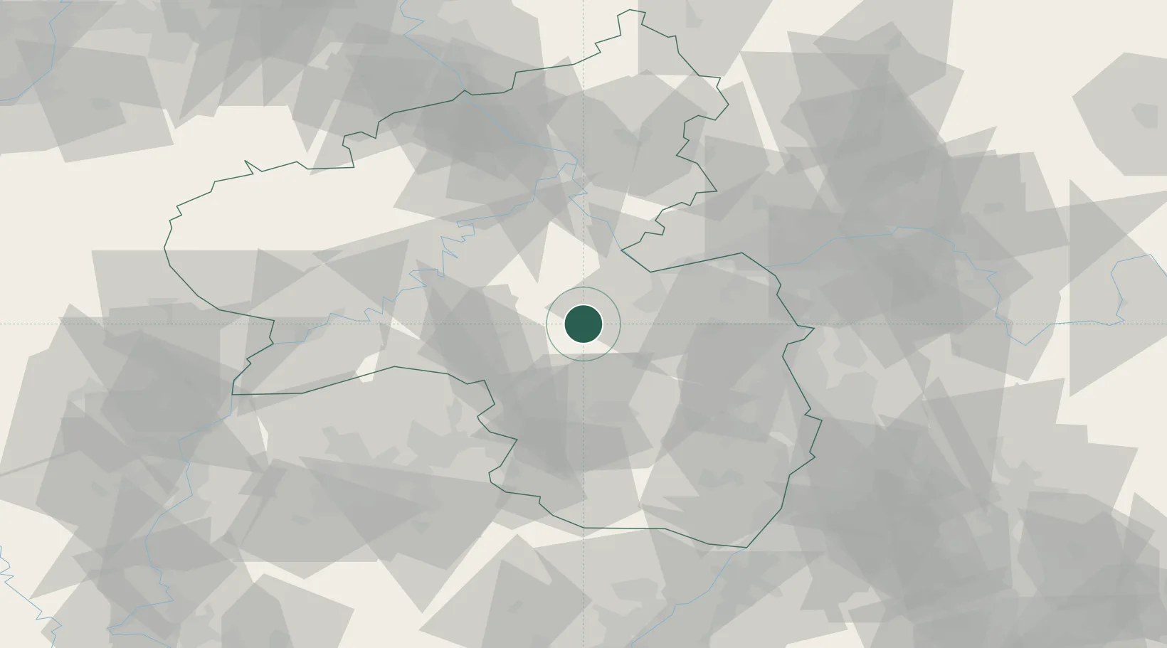
Hub Profile
Region
RP
Location
Nearby Logistics Neighbours
Cities
- 1Bad Sobernheim2 km
- 2Waldböckelheim7 km
- 3Oberhausen an der Nahe8 km
- 4Obermoschel11 km
- 5Spabrücken14 km
Airports
- 1Frankfurt-Hahn Airport32 km
- 2Ramstein Air Base39 km
- 3Mainz-Finthen Airfield42 km
- 4Wiesbaden Army Airfield58 km
- 5Büchel Air Base60 km
Trade Zones
- 1ZFU La Cité Behren-lès-Forbach85 km
- 2Luxembourg Free Port103 km
- 3ZFU Woippy-Metz128 km
- 4ZFU Metz130 km
- 5ZFU Hautepierre132 km
DatabookThe Record of Consolidated Knowledge
Germany beyond logistics?