Transport Functions
Multimodal
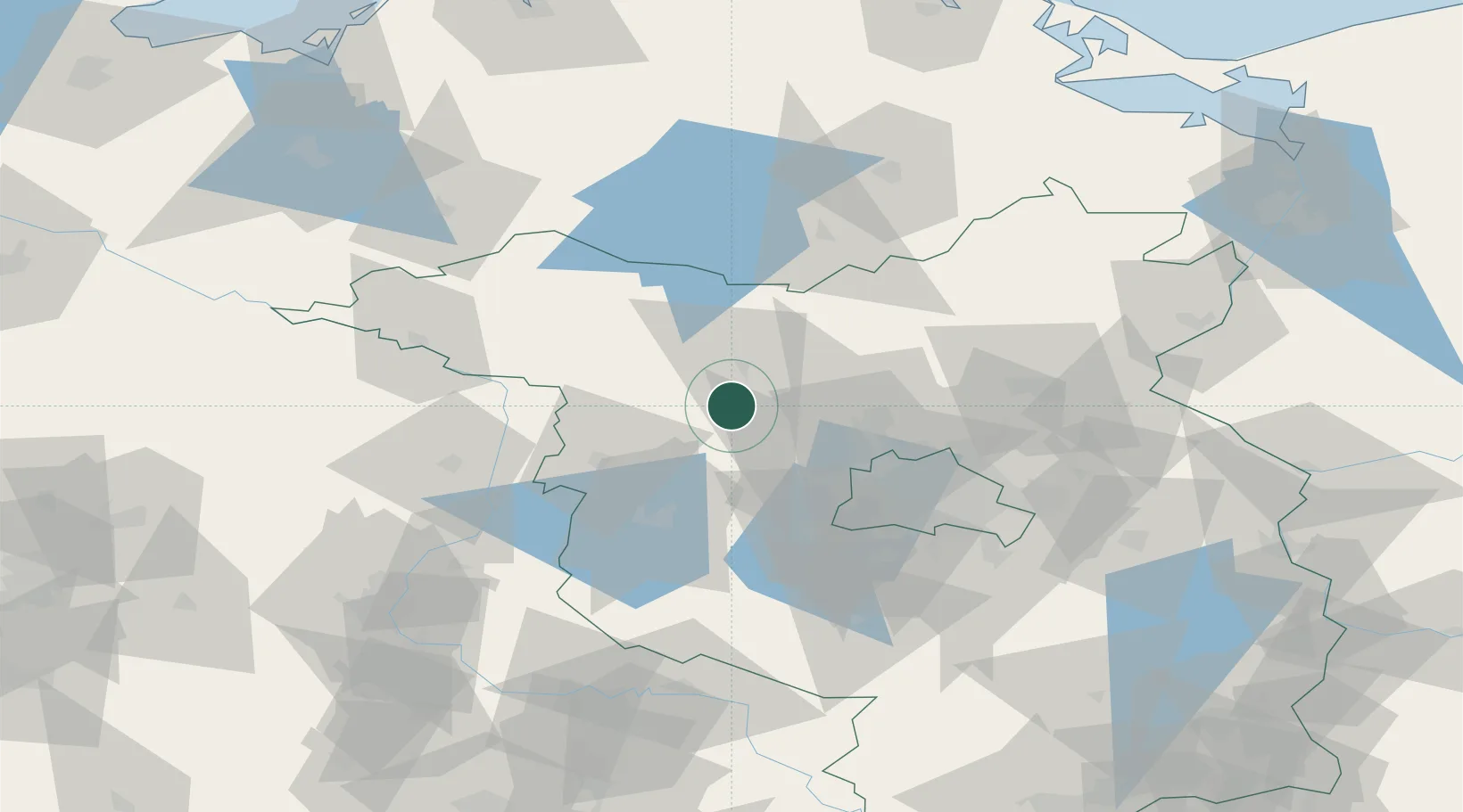
Hub Profile
Place type
Local administrative seat
Region
Brandenburg
Population
9,413
Time zone
Europe/Berlin
Elevation
39 m
Location
Nearby Logistics Neighbours
Cities
- 1Märkisch Linden14 km
- 2Werder Bei Neuruppin14 km
- 3Vielitz22 km
- 4Wusterhausen22 km
- 5Neustadt23 km
Airports
- 1Berlin Brandenburg Airport70 km
- 2Neubrandenburg Trollenhagen Airport96 km
- 3Zerbst Airfield98 km
- 4Holzdorf Air Base118 km
- 5Rostock-Laage Airport129 km
Trade Zones
- 1Kostrzyń-Słubice SEZ128 km
- 2Szczecin Duty Free Zone139 km
- 3Swinoujscie Duty Free Zone158 km
- 4Freeport of Kiel242 km
- 5Most - Joseph Industrial Zone264 km
DatabookThe Record of Consolidated Knowledge
Germany beyond logistics?