Transport Functions
Rail
Road
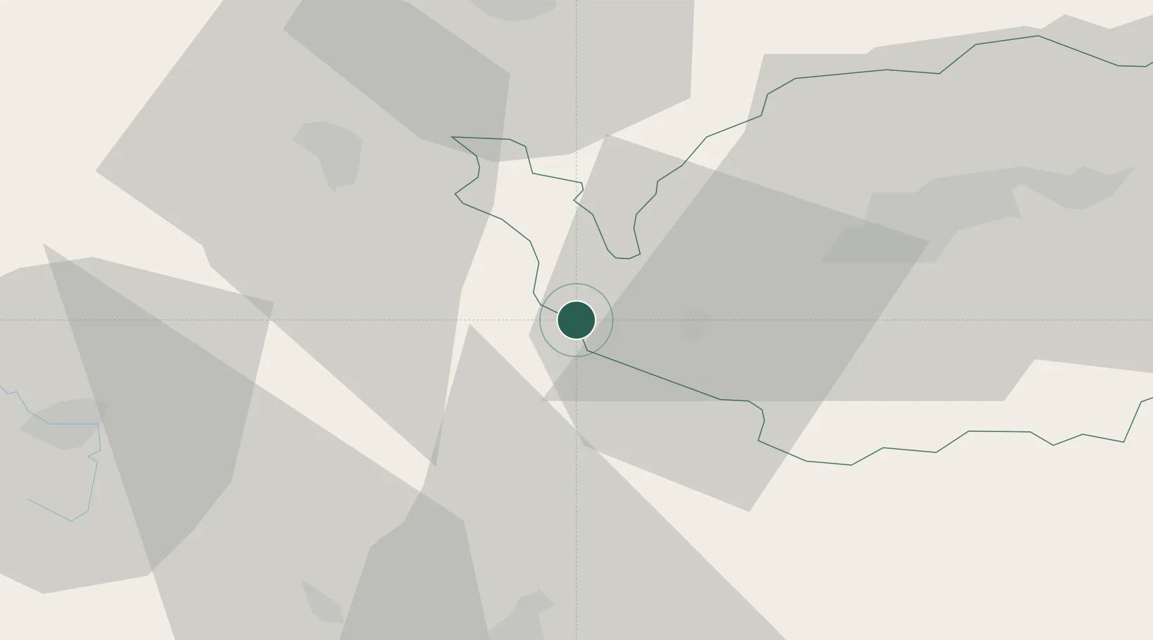
Hub Profile
Place type
Populated place
Region
Bavaria
Population
1,471
Time zone
Europe/Berlin
Elevation
457 m
Location
Nearby Logistics Neighbours
Cities
- 1Arzberg3 km
- 2Röthenbach6 km
- 3Polna U Jihlavy8 km
- 4Selb12 km
- 5Skalná13 km
Airports
- 1Hof-Plauen Airport35 km
- 2Bayreuth Airport44 km
- 3Grafenwöhr Army Air Field48 km
- 4Karlovy Vary Airport50 km
- 5Plzeň-Líně Airport87 km
Trade Zones
DatabookThe Record of Consolidated Knowledge
Germany beyond logistics?