UN/LOCODE hub · Czechia
CZKPY

Polna U Jihlavy

50.1500°, 12.2500°
1
Transport functions

Transport Functions

Multimodal
UN/LOCODE

Hub Profile

Region
KA
GeoNames

Location

Location of CZKPY
Natural Earth 10m (public domain) · KA · CZKPY · 50.15, 12.25GoogleOSMYandex

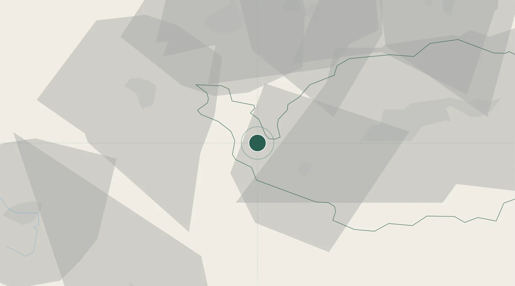
Nearby Logistics Neighbours

Cities
  1. 1Schirnding8 km
  2. 2Skalná9 km
  3. 3Selb9 km
  4. 4Arzberg10 km
  5. 5Röthenbach13 km
Nearest neighbours — logibook spatial index (haversine) over the source coordinates
Ports
  1. 1Szczecin396 km
  2. 2Bremen410 km
  3. 3Hamburg410 km
  4. 4Police412 km
  5. 5Wismar420 km
Nearest neighbours — logibook spatial index (haversine) over the source coordinates
Airports
  1. 1Hof-Plauen Airport32 km
  2. 2Bayreuth Airport47 km
  3. 3Karlovy Vary Airport48 km
  4. 4Grafenwöhr Army Air Field55 km
  5. 5Plzeň-Líně Airport90 km
Nearest neighbours — logibook spatial index (haversine) over the source coordinates
Trade Zones
  1. 1Podbořany Industrial Zone83 km
  2. 2Žatec - Triangle Strategic Industrial Zone95 km
  3. 3Most - Joseph Industrial Zone106 km
  4. 4Freeport of Deggendorf152 km
  5. 5Kolín - Ovčáry Industrial Zone212 km
Nearest neighbours — logibook spatial index (haversine) over the source coordinates
DatabookThe Record of Consolidated Knowledge
Czechia beyond logistics?
Browse databook

All Sources

LocationsUN/LOCODE
UN/LOCODE — free
Portsthe NGA World Port Index
Public domain (US gov)
AirportsOurAirports
Public domain
Trade Zonesthe World Bank SEZ database
CC BY 4.0
Trade ZonesOpen Zone Map
CC BY
← Czechia locations