Transport Functions
Rail
Road
Hub Profile
Place type
Locality
Region
Bavaria
Time zone
Europe/Berlin
Elevation
341 m
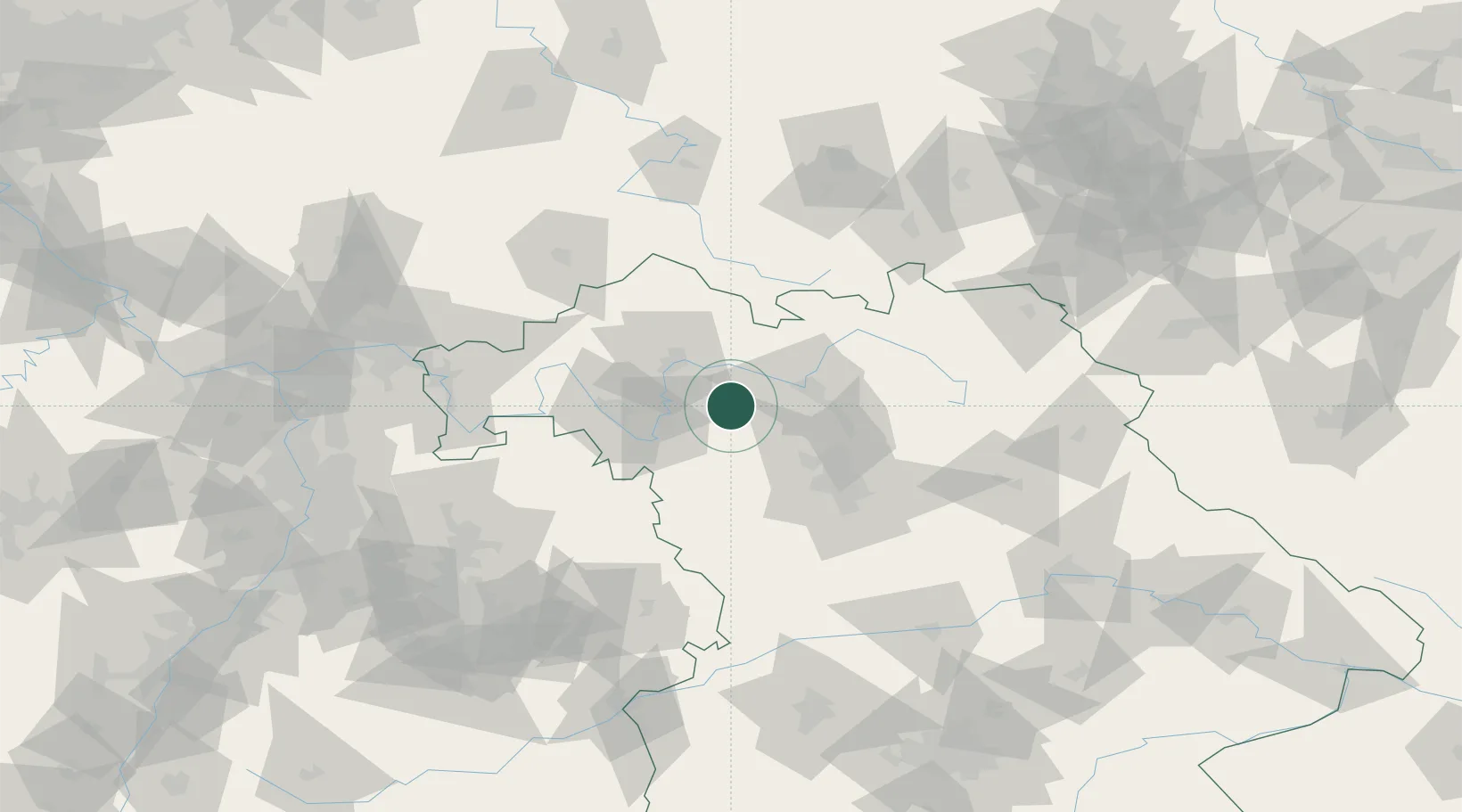
Location
Nearby Logistics Neighbours
Cities
- 1Burgwindheim7 km
- 2Geiselwind8 km
- 3Burghaslach13 km
- 4Schlüsselfeld13 km
- 5Donnersdorf16 km
Airports
- 1Bamberg-Breitenau Airfield31 km
- 2Nuremberg Airport56 km
- 3Niederstetten Army Air Base63 km
- 4Bayreuth Airport83 km
- 5Adolf Würth Airport95 km
Trade Zones
- 1Freeport of Deggendorf206 km
- 2Podbořany Industrial Zone212 km
- 3Žatec - Triangle Strategic Industrial Zone225 km
- 4Most - Joseph Industrial Zone235 km
- 5ZFU Neuhof245 km
DatabookThe Record of Consolidated Knowledge
Germany beyond logistics?