Transport Functions
Port
Rail
Road
Hub Profile
Place type
Populated place
Region
North Rhine-Westphalia
Time zone
Europe/Berlin
Elevation
331 m
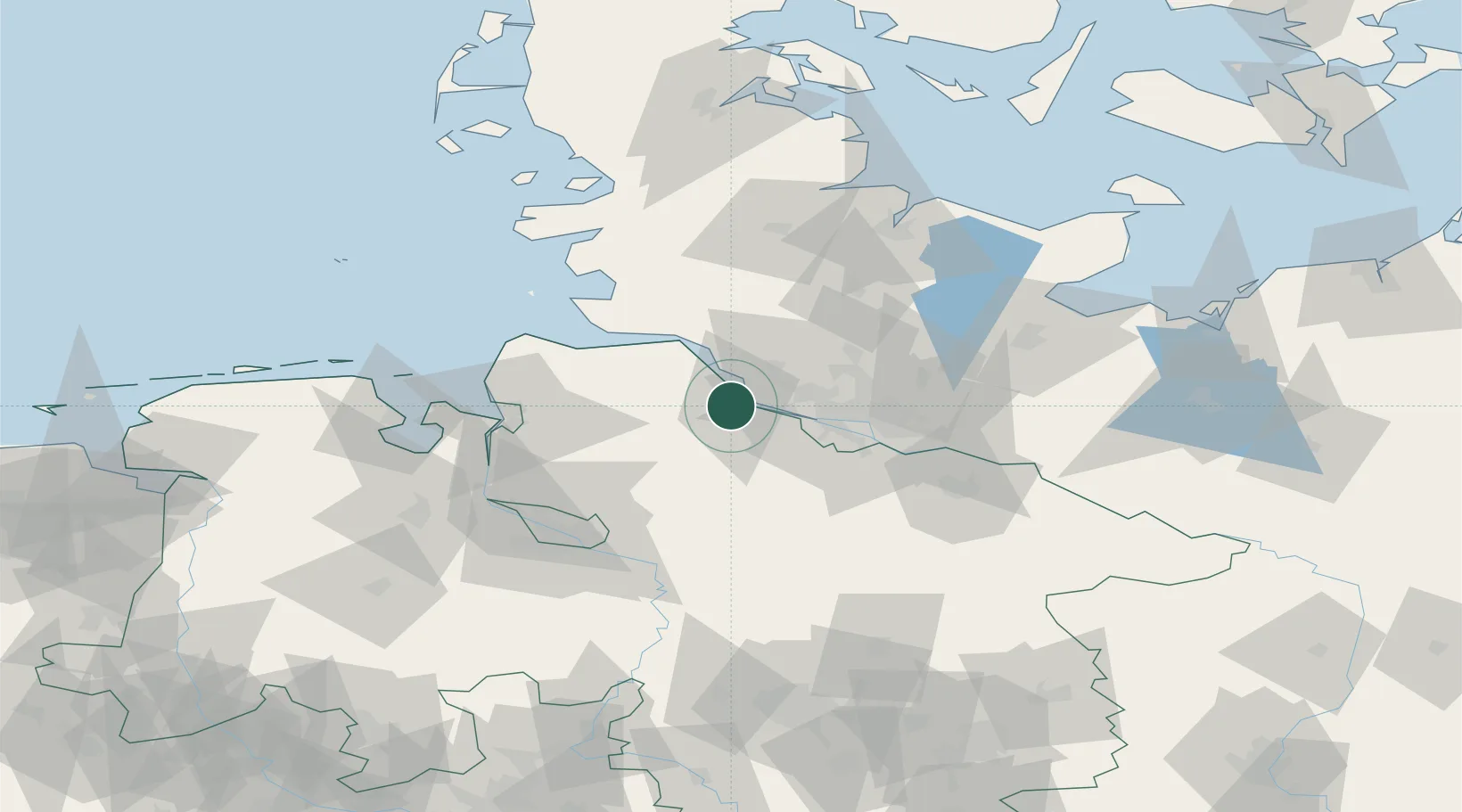
Location
Nearby Logistics Neighbours
Cities
- 1Stader Sand4 km
- 2Abbenfleth7 km
- 3Bützfleth7 km
- 4Haseldorf9 km
- 5Dollern9 km
Ports
- 1Butzfleth6 km
- 2Gluckstadt21 km
- 3Hamburg30 km
- 4Itzehoe35 km
- 5Neuhaus37 km
Airports
Trade Zones
DatabookThe Record of Consolidated Knowledge
Germany beyond logistics?