Transport Functions
Multimodal
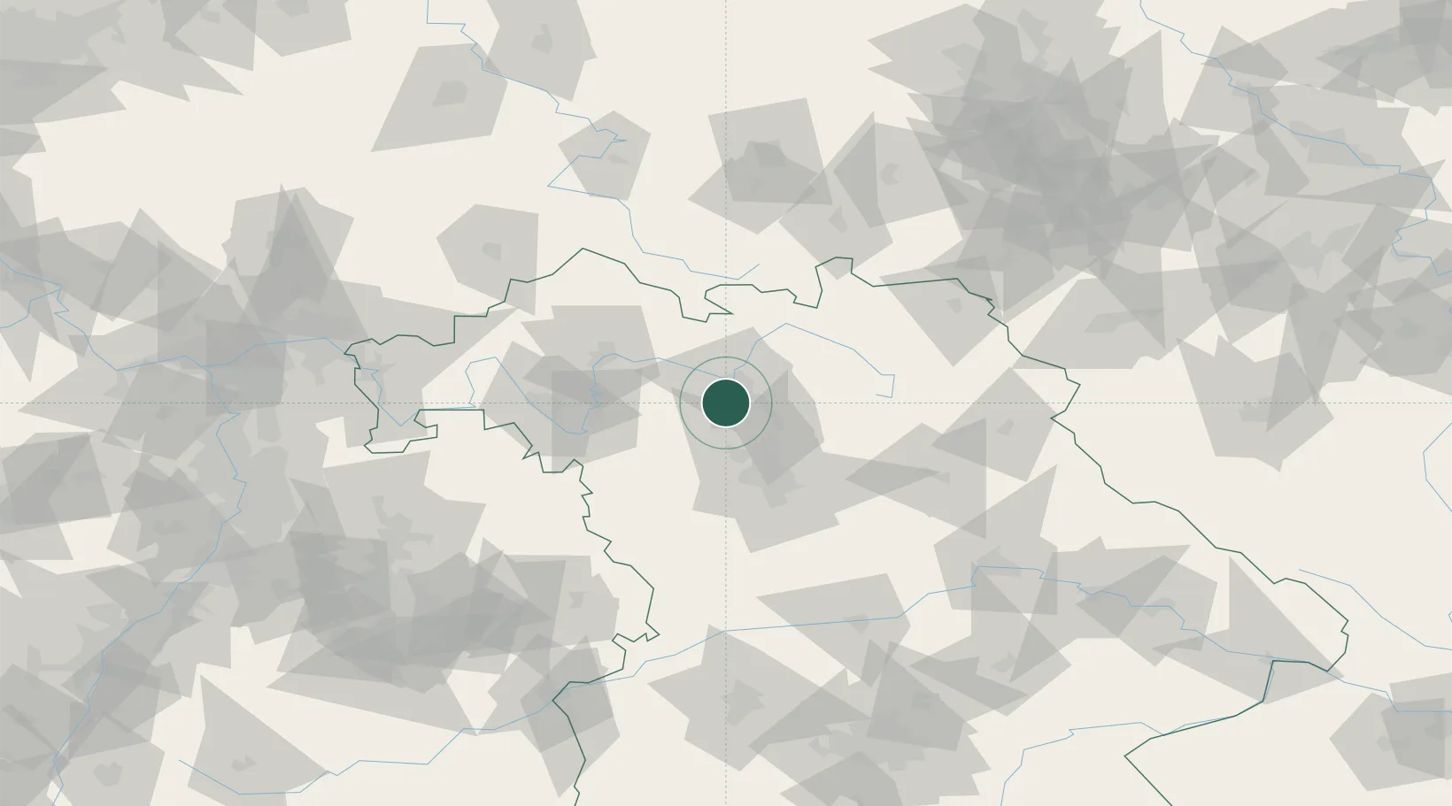
Hub Profile
Place type
Populated place
Region
Bavaria
Population
11,508
Time zone
Europe/Berlin
Elevation
252 m
Location
Nearby Logistics Neighbours
Cities
- 1Pommersfelden6 km
- 2Wachenroth10 km
- 3Bamberg11 km
- 4Oberhaid11 km
- 5Hallerndorf13 km
Airports
- 1Bamberg-Breitenau Airfield14 km
- 2Nuremberg Airport40 km
- 3Bayreuth Airport62 km
- 4Niederstetten Army Air Base78 km
- 5Grafenwöhr Army Air Field82 km
Trade Zones
- 1Freeport of Deggendorf186 km
- 2Podbořany Industrial Zone190 km
- 3Žatec - Triangle Strategic Industrial Zone204 km
- 4Most - Joseph Industrial Zone215 km
- 5ZFU Neuhof263 km
DatabookThe Record of Consolidated Knowledge
Germany beyond logistics?