Transport Functions
Multimodal
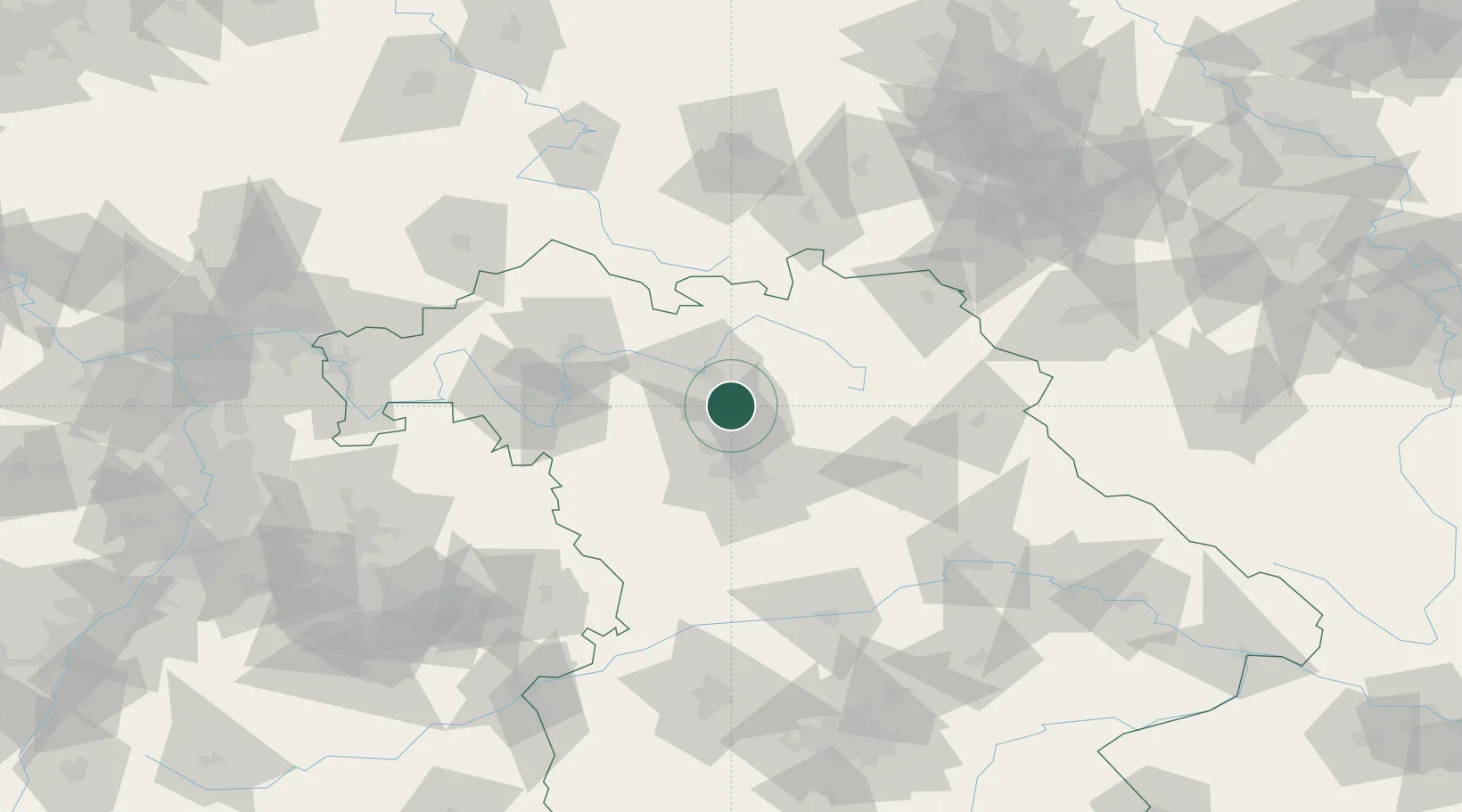
Hub Profile
Place type
Local administrative seat
Region
Bavaria
Population
3,928
Time zone
Europe/Berlin
Elevation
269 m
Location
Nearby Logistics Neighbours
Cities
- 1Altendorf2 km
- 2Pautzfeld2 km
- 3Buttenheim4 km
- 4Eggolsheim5 km
- 5Forchheim8 km
Airports
- 1Bamberg-Breitenau Airfield18 km
- 2Nuremberg Airport31 km
- 3Bayreuth Airport53 km
- 4Grafenwöhr Army Air Field69 km
- 5Niederstetten Army Air Base85 km
Trade Zones
- 1Freeport of Deggendorf173 km
- 2Podbořany Industrial Zone180 km
- 3Žatec - Triangle Strategic Industrial Zone194 km
- 4Most - Joseph Industrial Zone206 km
- 5ZFU Neuhof271 km
DatabookThe Record of Consolidated Knowledge
Germany beyond logistics?