Transport Functions
Port
Rail
Road
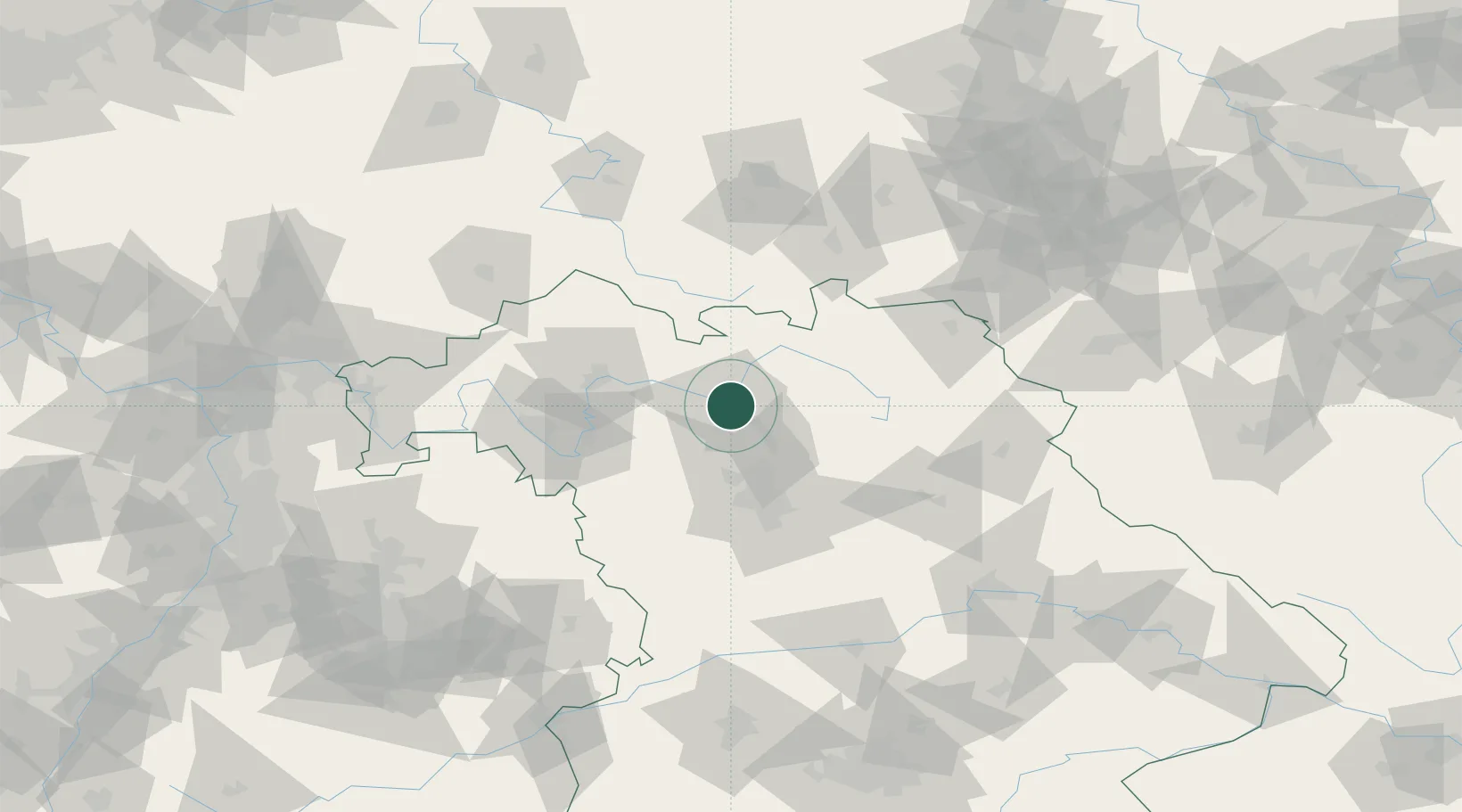
Hub Profile
Place type
District seat
Region
Bavaria
Population
70,047
Time zone
Europe/Berlin
Elevation
243 m
Logistics facilities
2
Location
Nearby Logistics Neighbours
Cities
- 1Oberhaid4 km
- 2Breitenguessbach4 km
- 3Hirschaid11 km
- 4Ottendorf13 km
- 5Zapfendorf14 km
Airports
- 1Bamberg-Breitenau Airfield3 km
- 2Nuremberg Airport48 km
- 3Bayreuth Airport56 km
- 4Grafenwöhr Army Air Field80 km
- 5Hof-Plauen Airport82 km
Trade Zones
- 1Podbořany Industrial Zone184 km
- 2Freeport of Deggendorf189 km
- 3Žatec - Triangle Strategic Industrial Zone197 km
- 4Most - Joseph Industrial Zone208 km
- 5ZFU Neuhof272 km
DatabookThe Record of Consolidated Knowledge
Germany beyond logistics?