Transport Functions
Multimodal
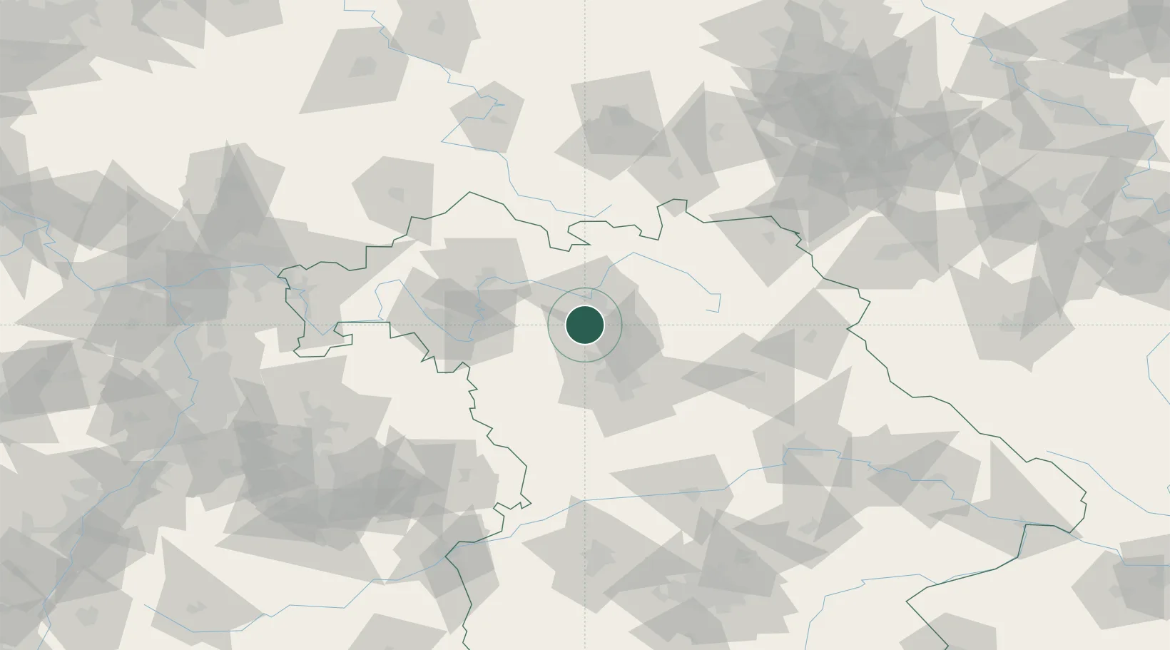
Hub Profile
Place type
Local administrative seat
Region
Bavaria
Population
2,874
Time zone
Europe/Berlin
Elevation
268 m
Location
Nearby Logistics Neighbours
Cities
- 1Hirschaid6 km
- 2Wachenroth7 km
- 3Lonnerstadt8 km
- 4Zeckern11 km
- 5Hallerndorf12 km
Airports
- 1Bamberg-Breitenau Airfield19 km
- 2Nuremberg Airport35 km
- 3Bayreuth Airport64 km
- 4Niederstetten Army Air Base75 km
- 5Grafenwöhr Army Air Field81 km
Trade Zones
- 1Freeport of Deggendorf183 km
- 2Podbořany Industrial Zone192 km
- 3Žatec - Triangle Strategic Industrial Zone205 km
- 4Most - Joseph Industrial Zone217 km
- 5ZFU Neuhof261 km
DatabookThe Record of Consolidated Knowledge
Germany beyond logistics?