Transport Functions
Multimodal
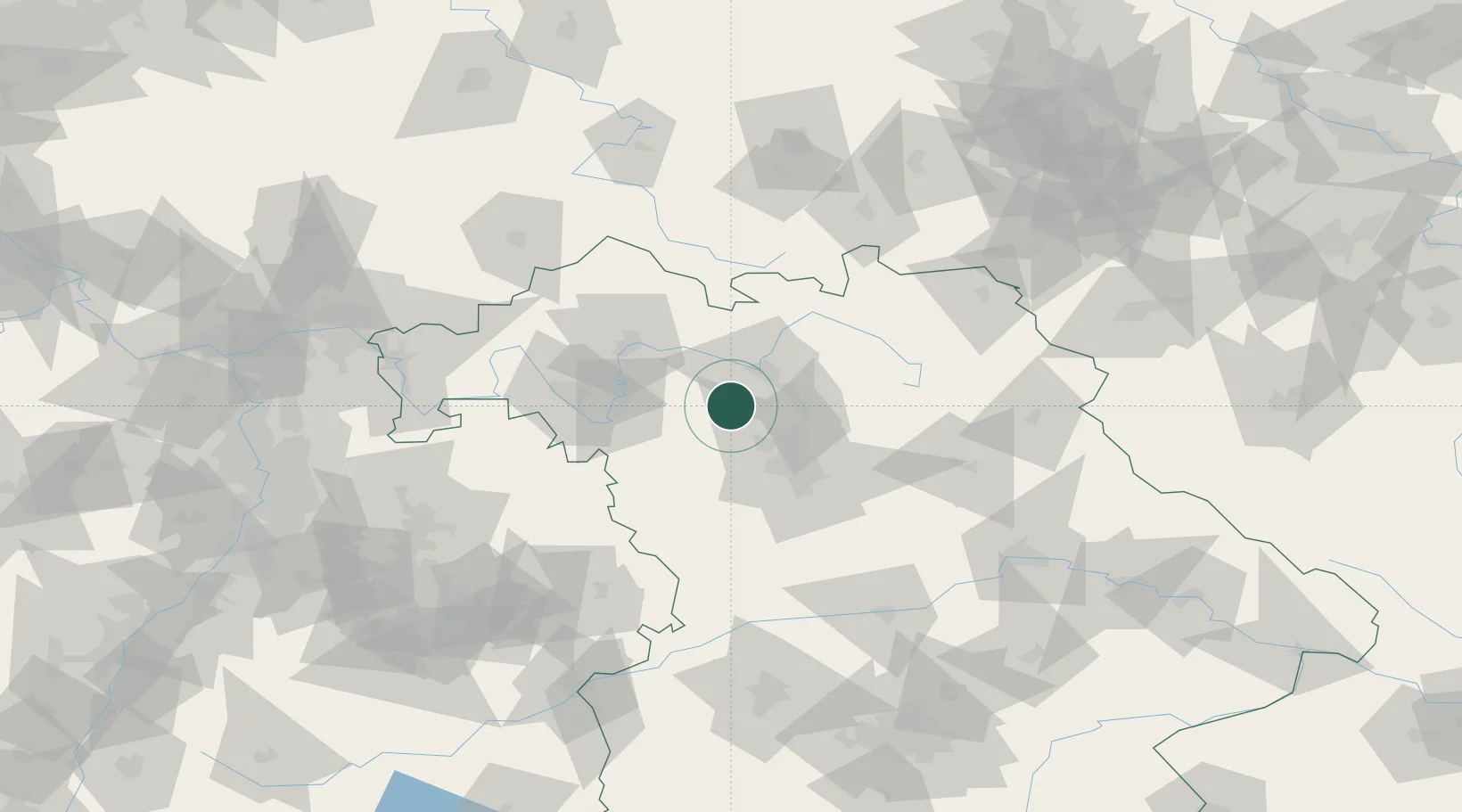
Hub Profile
Place type
Populated place
Region
Bavaria
Population
2,205
Time zone
Europe/Berlin
Elevation
294 m
Location
Nearby Logistics Neighbours
Cities
- 1Schlüsselfeld6 km
- 2Lonnerstadt7 km
- 3Pommersfelden7 km
- 4Burghaslach9 km
- 5Hirschaid10 km
Airports
- 1Bamberg-Breitenau Airfield24 km
- 2Nuremberg Airport38 km
- 3Niederstetten Army Air Base68 km
- 4Bayreuth Airport71 km
- 5Grafenwöhr Army Air Field88 km
Trade Zones
- 1Freeport of Deggendorf188 km
- 2Podbořany Industrial Zone199 km
- 3Žatec - Triangle Strategic Industrial Zone213 km
- 4Most - Joseph Industrial Zone224 km
- 5ZFU Neuhof253 km
DatabookThe Record of Consolidated Knowledge
Germany beyond logistics?