UN/LOCODE hub · Germany
DEZDE

Weitendorf

53.8833°, 12.2667°
1
Transport functions

Transport Functions

Multimodal
UN/LOCODE

Hub Profile

Place type
Populated place
GeoNames
Region
Mecklenburg-Vorpommern
GeoNames
Time zone
Europe/Berlin
GeoNames
Elevation
32 m
GeoNames

Location

Location of DEZDE
Natural Earth 10m (public domain) · Mecklenburg-Vorpommern · DEZDE · 53.88, 12.27GoogleOSMYandex

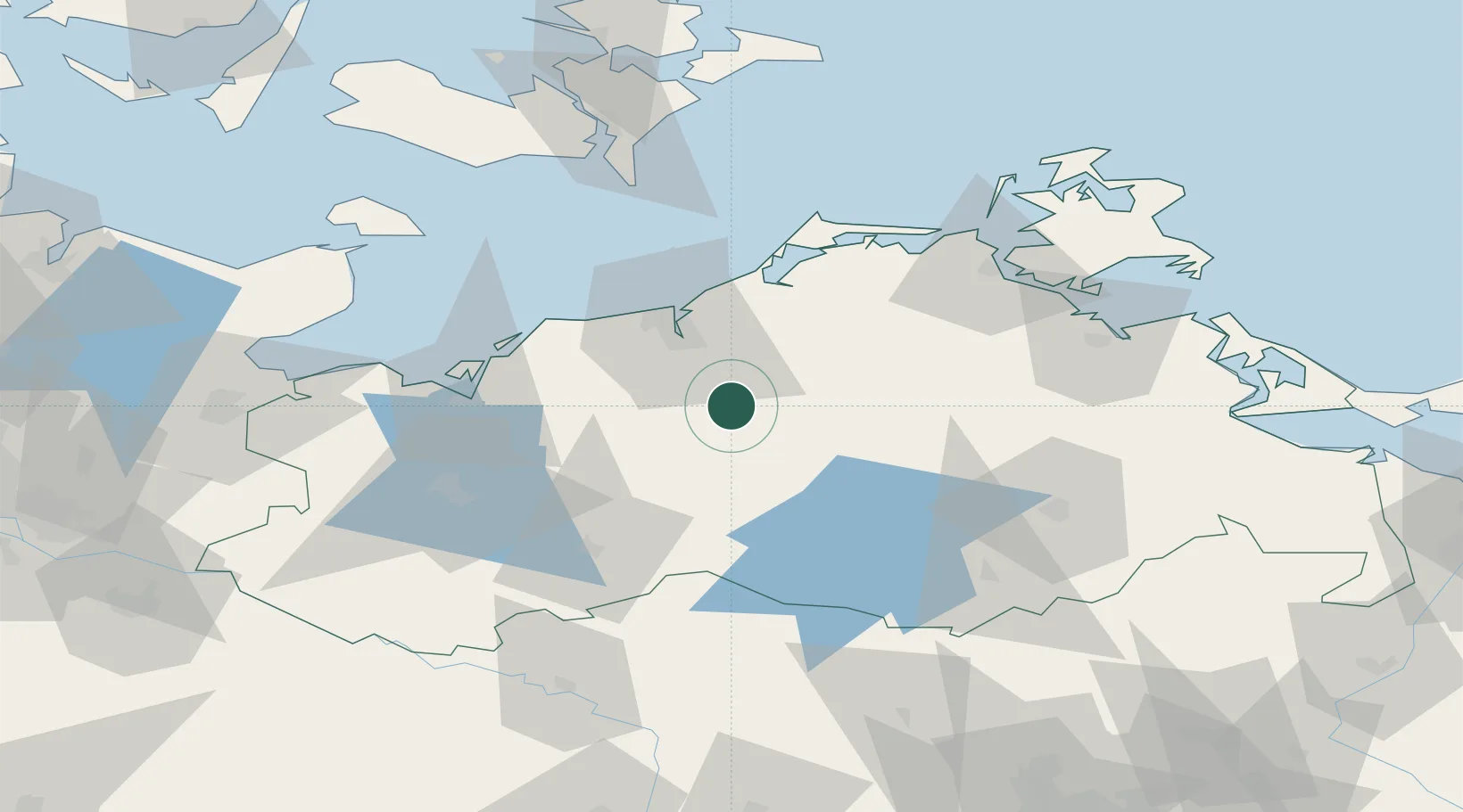
Nearby Logistics Neighbours

Cities
  1. 1Kronskamp7 km
  2. 2Laage7 km
  3. 3Schwaan12 km
  4. 4Kessin21 km
  5. 5Teterow24 km
Nearest neighbours — logibook spatial index (haversine) over the source coordinates
Ports
  1. 1Rostock26 km
  2. 2Wismar53 km
  3. 3Stralsund73 km
  4. 4Lubeck-Travemunde91 km
  5. 5Nysted94 km
Nearest neighbours — logibook spatial index (haversine) over the source coordinates
Airports
  1. 1Rostock-Laage Airport4 km
  2. 2Neubrandenburg Trollenhagen Airport75 km
  3. 3Lübeck Blankensee Airport102 km
  4. 4Lolland Falster Maribo Airport106 km
  5. 5Heringsdorf Airport124 km
Nearest neighbours — logibook spatial index (haversine) over the source coordinates
Trade Zones
  1. 1Swinoujscie Duty Free Zone132 km
  2. 2Freeport of Kiel145 km
  3. 3Szczecin Duty Free Zone160 km
  4. 4MTS Malmö Transport and Spedition199 km
  5. 5Freeport of Copenhagen- Nordhavn205 km
Nearest neighbours — logibook spatial index (haversine) over the source coordinates
DatabookThe Record of Consolidated Knowledge
Germany beyond logistics?
Browse databook

All Sources

LocationsUN/LOCODE
UN/LOCODE — free
Portsthe NGA World Port Index
Public domain (US gov)
AirportsOurAirports
Public domain
Trade Zonesthe World Bank SEZ database
CC BY 4.0
Trade ZonesOpen Zone Map
CC BY
← Germany locations