Transport Functions
Port
Multimodal
Hub Profile
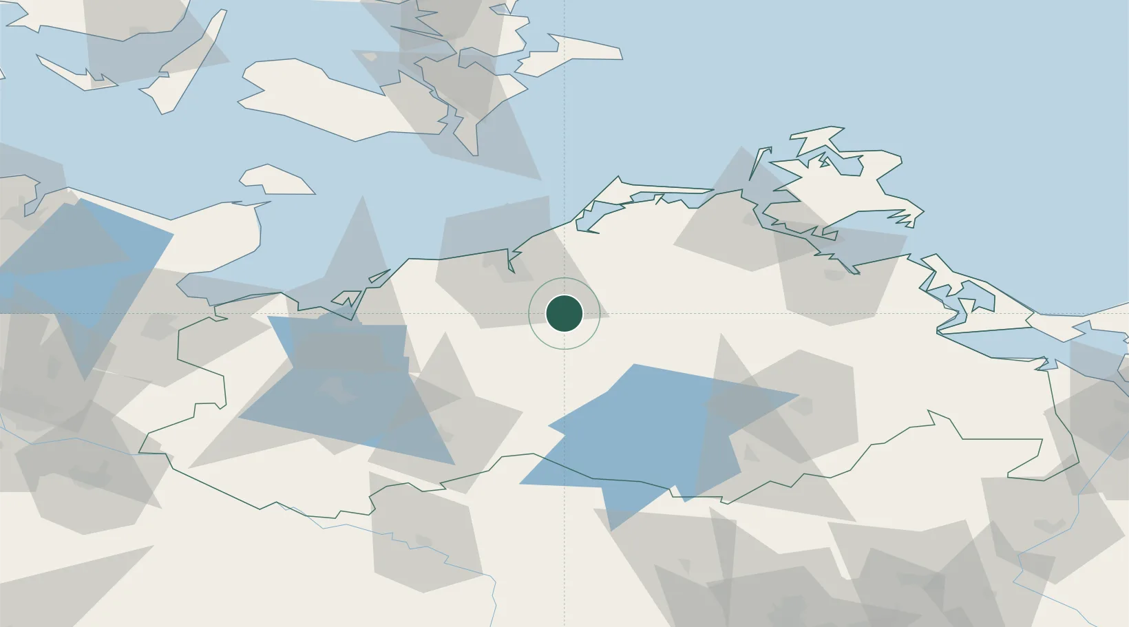
Place type
Populated place
Region
Mecklenburg-Vorpommern
Time zone
Europe/Berlin
Elevation
13 m
Location
Nearby Logistics Neighbours
Cities
- 1Laage3 km
- 2Weitendorf7 km
- 3Schwaan13 km
- 4Kessin17 km
- 5Bentwisch20 km
Ports
- 1Rostock22 km
- 2Wismar56 km
- 3Stralsund67 km
- 4Nysted90 km
- 5Lubeck-Travemunde94 km
Airports
Trade Zones
- 1Swinoujscie Duty Free Zone128 km
- 2Freeport of Kiel147 km
- 3Szczecin Duty Free Zone159 km
- 4MTS Malmö Transport and Spedition193 km
- 5Freeport of Copenhagen- Nordhavn199 km
DatabookThe Record of Consolidated Knowledge
Germany beyond logistics?