Transport Functions
Rail
Road
Hub Profile
Place type
Local administrative seat
Region
Mecklenburg-Vorpommern
Population
9,544
Time zone
Europe/Berlin
Elevation
15 m
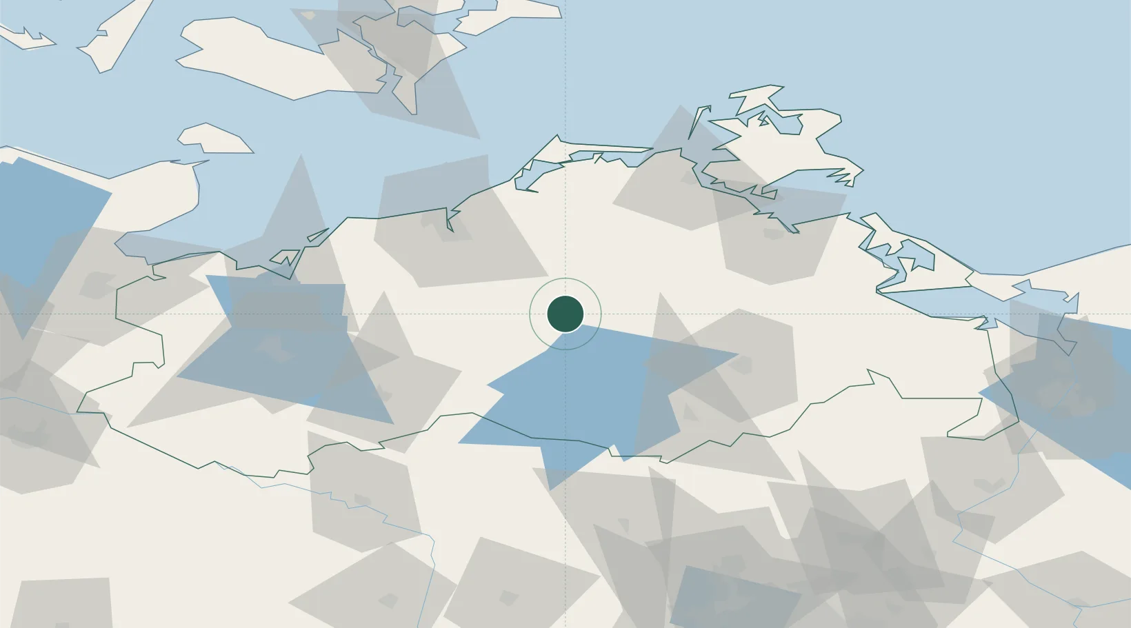
Location
Nearby Logistics Neighbours
Cities
- 1Dahmen13 km
- 2Moltzow15 km
- 3Kuchelmiss17 km
- 4Dargun22 km
- 5Laage22 km
Airports
- 1Rostock-Laage Airport25 km
- 2Neubrandenburg Trollenhagen Airport52 km
- 3Heringsdorf Airport105 km
- 4Lübeck Blankensee Airport121 km
- 5Lolland Falster Maribo Airport127 km
Trade Zones
- 1Swinoujscie Duty Free Zone113 km
- 2Szczecin Duty Free Zone138 km
- 3Freeport of Kiel169 km
- 4Kostrzyń-Słubice SEZ190 km
- 5MTS Malmö Transport and Spedition207 km
DatabookThe Record of Consolidated Knowledge
Germany beyond logistics?