Transport Functions
Rail
Road
Hub Profile
Place type
Local administrative seat
Region
Mecklenburg-Vorpommern
Population
8,156
Time zone
Europe/Berlin
Elevation
29 m
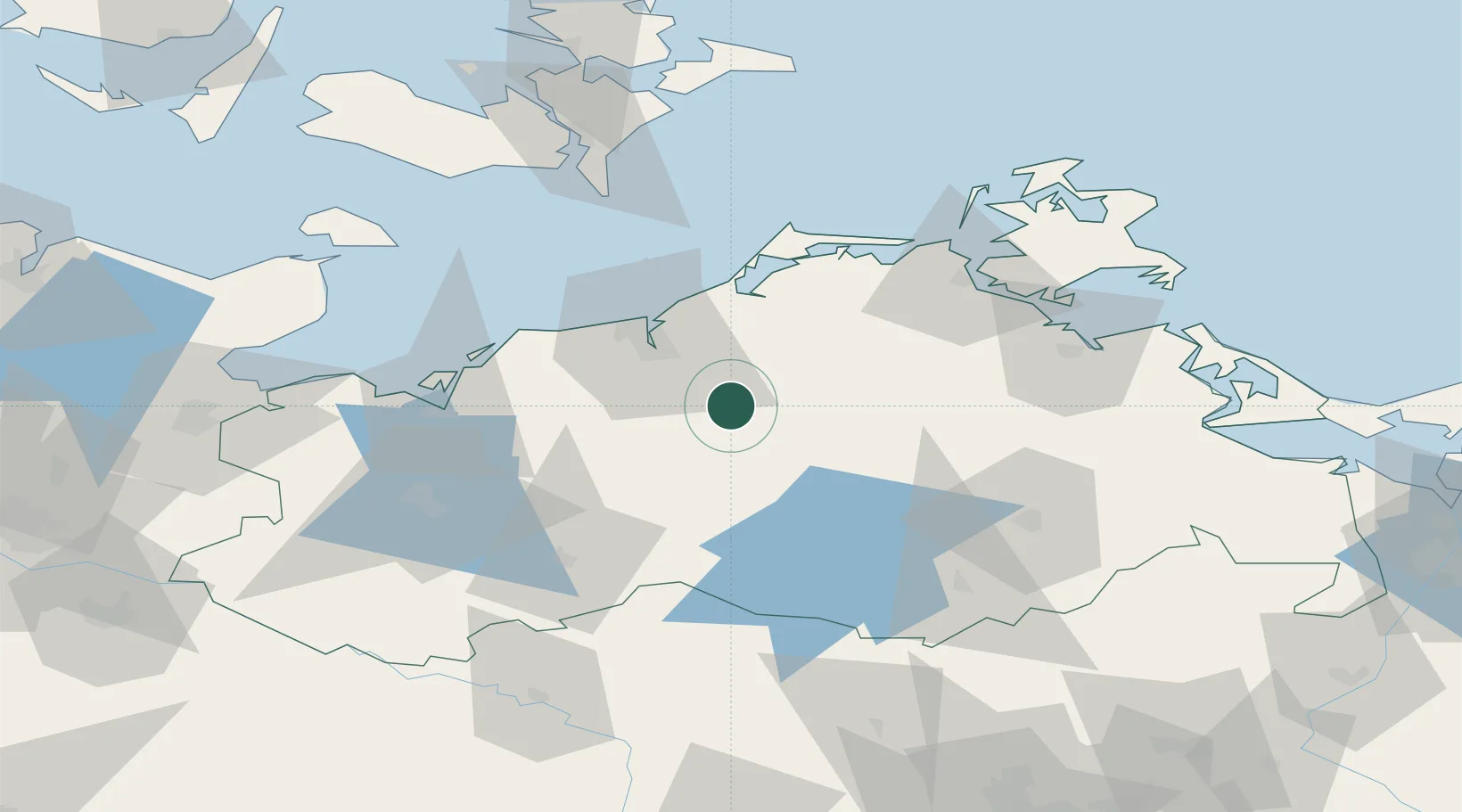
Location
Nearby Logistics Neighbours
Cities
- 1Kronskamp3 km
- 2Weitendorf7 km
- 3Schwaan16 km
- 4Kessin20 km
- 5Teterow22 km
Airports
Trade Zones
- 1Swinoujscie Duty Free Zone126 km
- 2Freeport of Kiel149 km
- 3Szczecin Duty Free Zone156 km
- 4MTS Malmö Transport and Spedition194 km
- 5Freeport of Copenhagen- Nordhavn201 km
DatabookThe Record of Consolidated Knowledge
Germany beyond logistics?