Transport Functions
Port
Road
Hub Profile
Place type
Local administrative seat
Region
Mecklenburg-Vorpommern
Population
5,345
Time zone
Europe/Berlin
Elevation
10 m
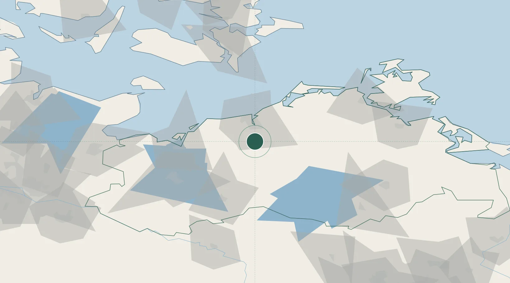
Location
Nearby Logistics Neighbours
Cities
- 1Weitendorf12 km
- 2Kronskamp13 km
- 3Kessin14 km
- 4Laage16 km
- 5Parkentin17 km
Ports
- 1Rostock17 km
- 2Wismar43 km
- 3Stralsund76 km
- 4Lubeck-Travemunde81 km
- 5Nysted84 km
Airports
Trade Zones
- 1Freeport of Kiel134 km
- 2Swinoujscie Duty Free Zone141 km
- 3Szczecin Duty Free Zone172 km
- 4MTS Malmö Transport and Spedition195 km
- 5Freeport of Copenhagen- Nordhavn199 km
DatabookThe Record of Consolidated Knowledge
Germany beyond logistics?