Transport Functions
Multimodal
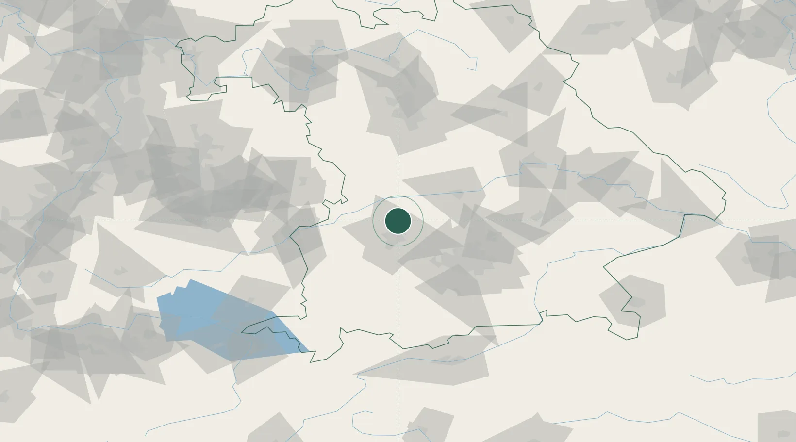
Hub Profile
Place type
Local administrative seat
Region
Bavaria
Population
1,443
Time zone
Europe/Berlin
Elevation
448 m
Location
Nearby Logistics Neighbours
Cities
- 1Thierhaupten6 km
- 2Affing7 km
- 3Langweid7 km
- 4Hollenbach11 km
- 5Nordendorf12 km
Ports
- 1Nogaro350 km
- 2Grado361 km
- 3Monfalcone363 km
- 4Porto Di Lido-Venezia363 km
- 5Porto Di Chioggia380 km
Airports
- 1Augsburg Airport10 km
- 2Neuburg Air Base30 km
- 3Altstetten Ultralight Field35 km
- 4Lechfeld Air Base37 km
- 5Ingolstadt Manching Airport49 km
Trade Zones
- 1Freeport of Deggendorf149 km
- 2Livigno Free Trade Zone229 km
- 3ZFU Neuhof233 km
- 4ZFU Hautepierre239 km
- 5Podbořany Industrial Zone261 km
DatabookThe Record of Consolidated Knowledge
Germany beyond logistics?