UN/LOCODE hub · Germany
DELWD

Langweid

48.4833°, 10.8500°
7,653
Population
2
Transport functions

Transport Functions

Rail
Road
UN/LOCODE

Hub Profile

Place type
Populated place
GeoNames
Region
Bavaria
GeoNames
Population
7,653
GeoNames
Time zone
Europe/Berlin
GeoNames
Elevation
449 m
GeoNames

Location

Location of DELWD
Natural Earth 10m (public domain) · Bavaria · DELWD · 48.48, 10.85GoogleOSMYandex

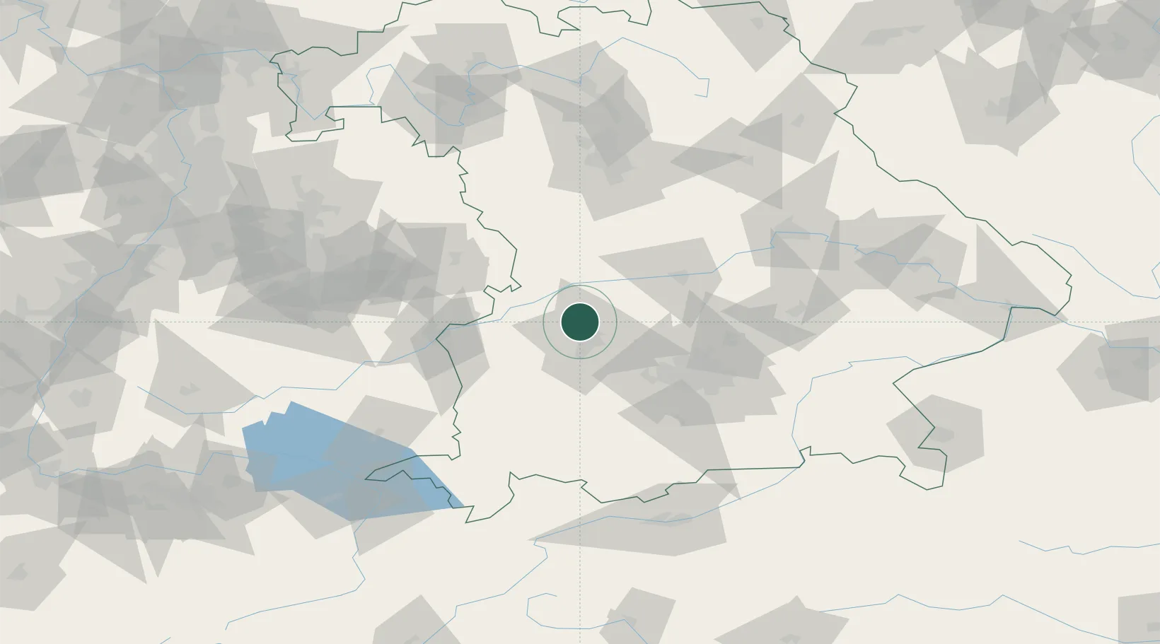
Nearby Logistics Neighbours

Cities
  1. 1Todtenweis7 km
  2. 2Heretsried9 km
  3. 3Neusäss9 km
  4. 4Augsburg10 km
  5. 5Affing10 km
Nearest neighbours — logibook spatial index (haversine) over the source coordinates
Ports
  1. 1Nogaro350 km
  2. 2Grado361 km
  3. 3Porto Di Lido-Venezia362 km
  4. 4Monfalcone363 km
  5. 5Porto Di Chioggia378 km
Nearest neighbours — logibook spatial index (haversine) over the source coordinates
Airports
  1. 1Augsburg Airport9 km
  2. 2Lechfeld Air Base33 km
  3. 3Neuburg Air Base37 km
  4. 4Altstetten Ultralight Field38 km
  5. 5Oberpfaffenhofen Airport55 km
Nearest neighbours — logibook spatial index (haversine) over the source coordinates
Trade Zones
  1. 1Freeport of Deggendorf156 km
  2. 2Livigno Free Trade Zone224 km
  3. 3ZFU Neuhof227 km
  4. 4ZFU Hautepierre233 km
  5. 5Podbořany Industrial Zone268 km
Nearest neighbours — logibook spatial index (haversine) over the source coordinates
DatabookThe Record of Consolidated Knowledge
Germany beyond logistics?
Browse databook

All Sources

LocationsUN/LOCODE
UN/LOCODE — free
LocationsGeoNames
CC BY 4.0
Portsthe NGA World Port Index
Public domain (US gov)
AirportsOurAirports
Public domain
Trade Zonesthe World Bank SEZ database
CC BY 4.0
Trade ZonesOpen Zone Map
CC BY
← Germany locations