Transport Functions
Rail
Road
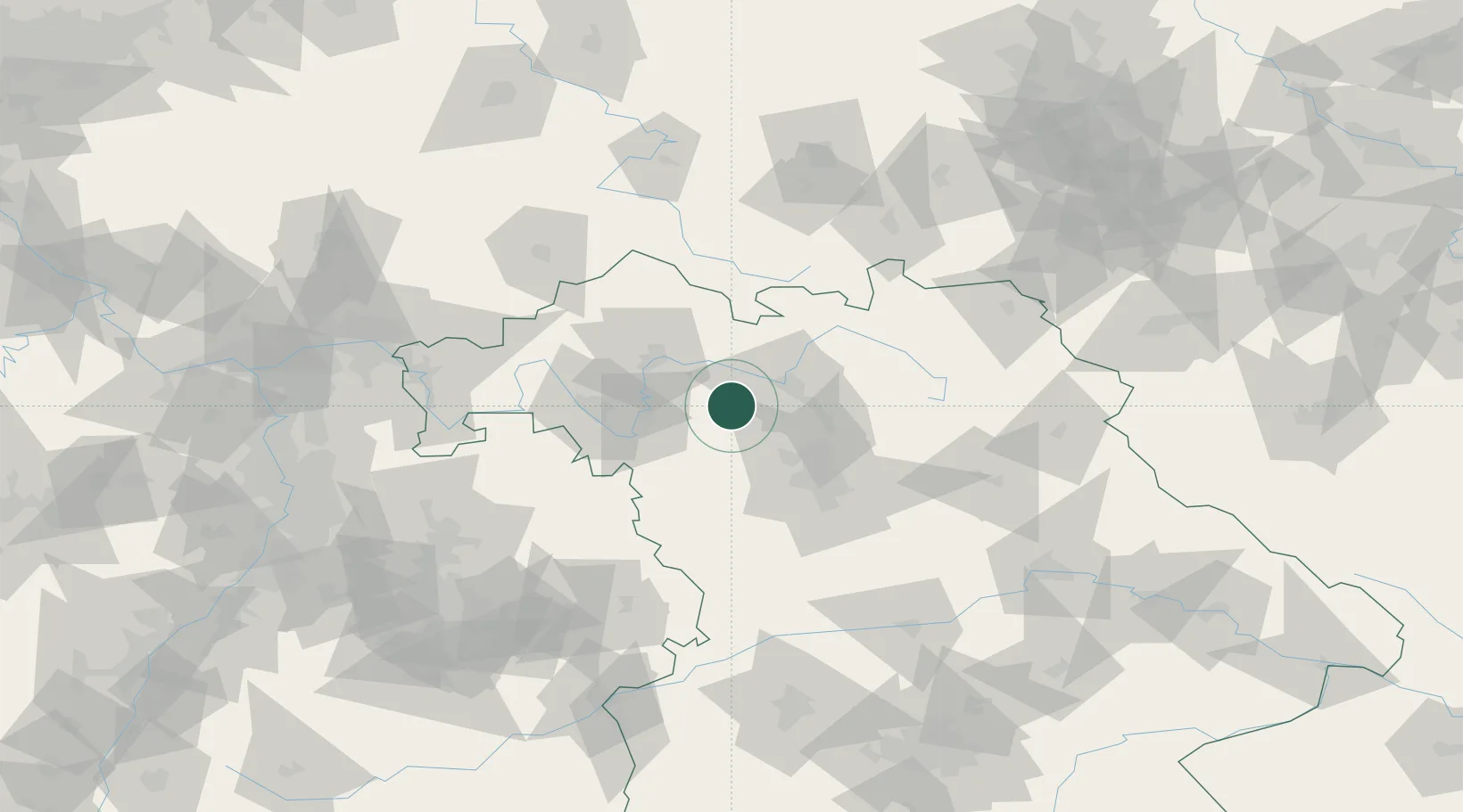
Hub Profile
Place type
Populated place
Region
Bavaria
Population
1,465
Time zone
Europe/Berlin
Elevation
292 m
Location
Nearby Logistics Neighbours
Cities
- 1Ebrach7 km
- 2Schlüsselfeld8 km
- 3Burghaslach9 km
- 4Geiselwind11 km
- 5Wachenroth11 km
Airports
- 1Bamberg-Breitenau Airfield25 km
- 2Nuremberg Airport49 km
- 3Niederstetten Army Air Base66 km
- 4Bayreuth Airport77 km
- 5Grafenwöhr Army Air Field97 km
Trade Zones
- 1Freeport of Deggendorf199 km
- 2Podbořany Industrial Zone205 km
- 3Žatec - Triangle Strategic Industrial Zone218 km
- 4Most - Joseph Industrial Zone229 km
- 5ZFU Neuhof250 km
DatabookThe Record of Consolidated Knowledge
Germany beyond logistics?