Transport Functions
Multimodal
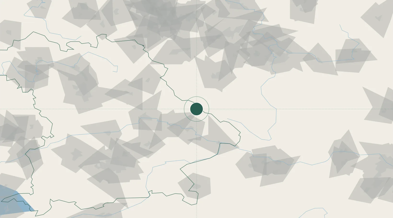
Hub Profile
Place type
Populated place
Region
Bavaria
Population
2,884
Time zone
Europe/Berlin
Elevation
574 m
Location
Nearby Logistics Neighbours
Cities
- 1Kötzting14 km
- 2Bodenmais14 km
- 3Nyrsko16 km
- 4Patersdorf (Regen)19 km
- 5Ruhmannsfelden23 km
Ports
- 1Monfalcone380 km
- 2Nogaro381 km
- 3Grado388 km
- 4Trieste396 km
- 5Muggia402 km
Airports
- 1Plzeň-Líně Airport57 km
- 2Hohenfels Army Airfield87 km
- 3Grafenwöhr Army Air Field98 km
- 4Landshut Airfield104 km
- 5České Budějovice South Bohemian Airport105 km
Trade Zones
DatabookThe Record of Consolidated Knowledge
Germany beyond logistics?