Transport Functions
Rail
Road
Hub Profile
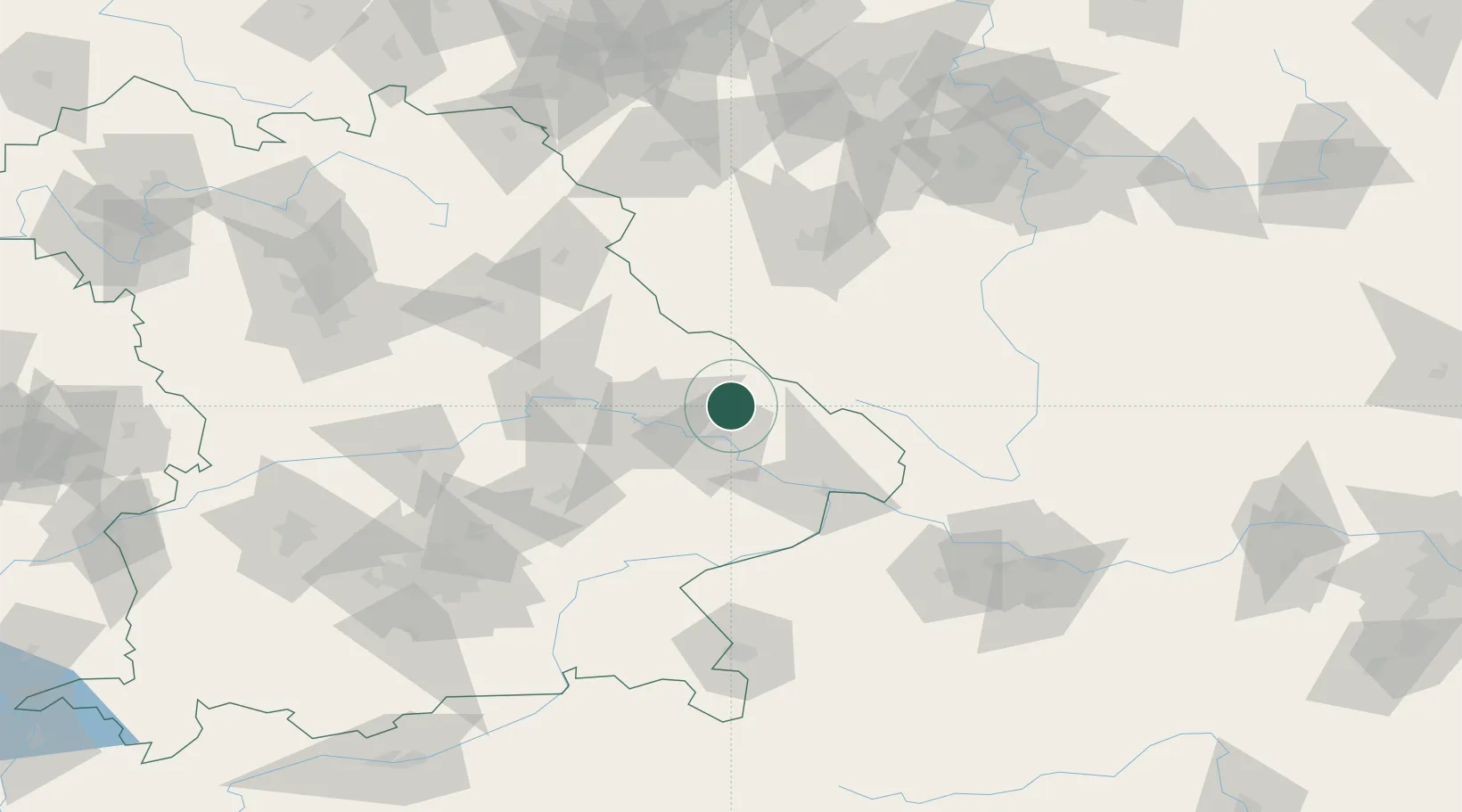
Place type
Populated place
Region
Bavaria
Population
2,190
Time zone
Europe/Berlin
Elevation
530 m
Location
Nearby Logistics Neighbours
Cities
- 1Gotteszell2 km
- 2Patersdorf (Regen)4 km
- 3Bischofsmais10 km
- 4Bodenmais13 km
- 5Niederwinkling17 km
Ports
- 1Monfalcone358 km
- 2Nogaro359 km
- 3Grado366 km
- 4Trieste375 km
- 5Muggia381 km
Airports
- 1Plzeň-Líně Airport80 km
- 2Landshut Airfield87 km
- 3Hohenfels Army Airfield88 km
- 4České Budějovice South Bohemian Airport106 km
- 5Grafenwöhr Army Air Field110 km
Trade Zones
DatabookThe Record of Consolidated Knowledge
Germany beyond logistics?