Transport Functions
Rail
Road
Hub Profile
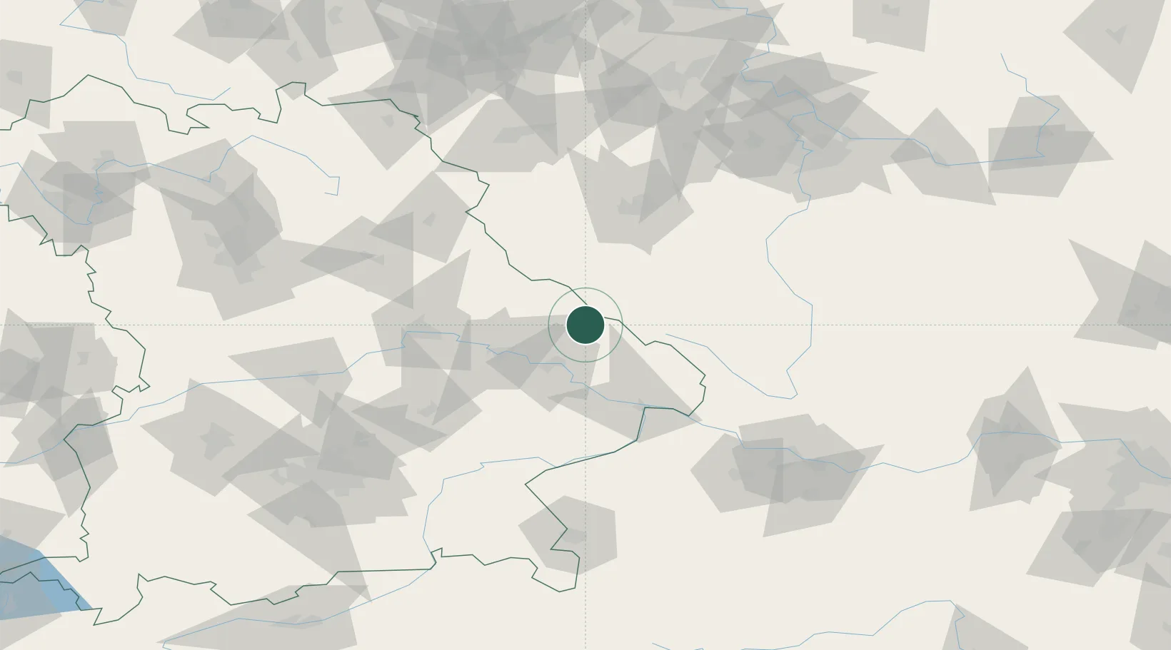
Place type
Populated place
Region
Bavaria
Population
3,362
Time zone
Europe/Berlin
Elevation
690 m
Location
Nearby Logistics Neighbours
Cities
- 1Patersdorf (Regen)10 km
- 2Ruhmannsfelden13 km
- 3Lam14 km
- 4Gotteszell15 km
- 5Bischofsmais17 km
Ports
- 1Monfalcone367 km
- 2Nogaro368 km
- 3Grado375 km
- 4Trieste383 km
- 5Muggia389 km
Airports
- 1Plzeň-Líně Airport69 km
- 2Hohenfels Army Airfield93 km
- 3České Budějovice South Bohemian Airport98 km
- 4Landshut Airfield100 km
- 5Grafenwöhr Army Air Field110 km
Trade Zones
DatabookThe Record of Consolidated Knowledge
Germany beyond logistics?