Transport Functions
Rail
Road
Multimodal
Hub Profile
Region
BY
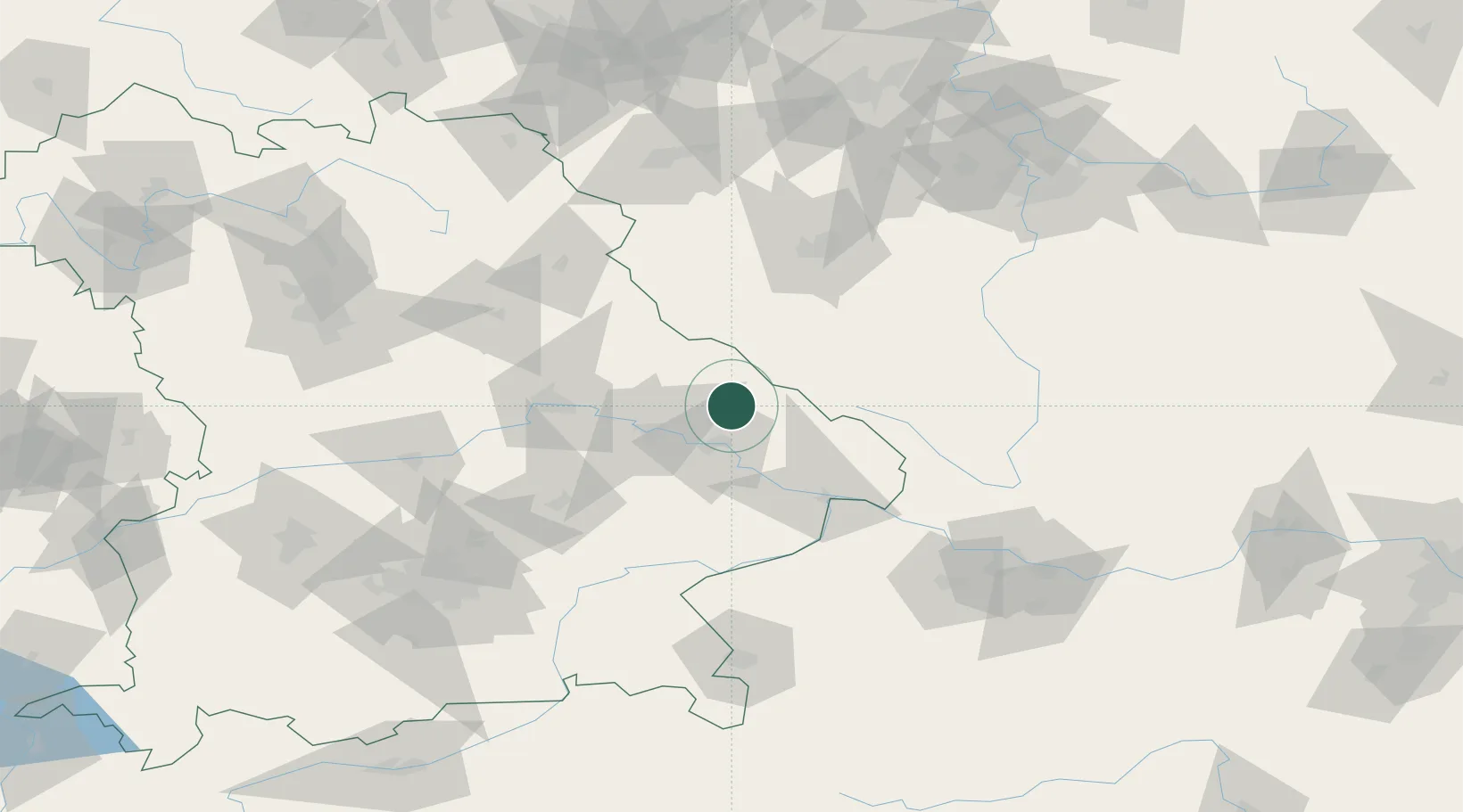
Location
Nearby Logistics Neighbours
Cities
- 1Ruhmannsfelden4 km
- 2Gotteszell6 km
- 3Bodenmais10 km
- 4Bischofsmais13 km
- 5Lam19 km
Ports
- 1Monfalcone362 km
- 2Nogaro363 km
- 3Grado370 km
- 4Trieste379 km
- 5Muggia385 km
Airports
- 1Plzeň-Líně Airport76 km
- 2Hohenfels Army Airfield86 km
- 3Landshut Airfield89 km
- 4České Budějovice South Bohemian Airport106 km
- 5Grafenwöhr Army Air Field107 km
Trade Zones
DatabookThe Record of Consolidated Knowledge
Germany beyond logistics?