Transport Functions
Multimodal
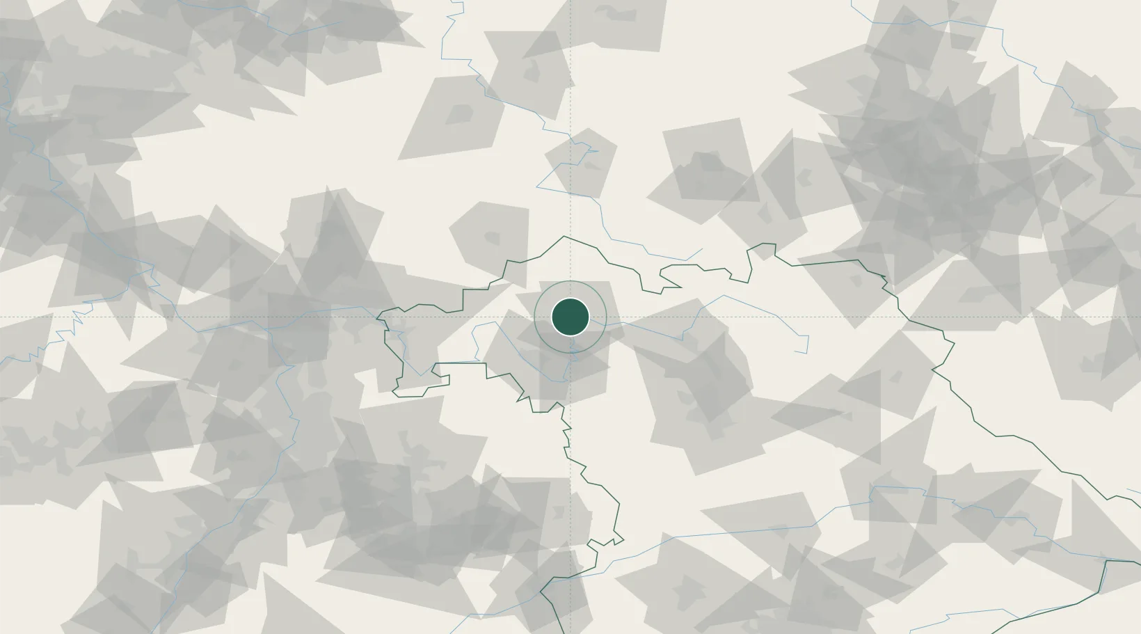
Hub Profile
Place type
Populated place
Region
Bavaria
Time zone
Europe/Berlin
Elevation
253 m
Location
Nearby Logistics Neighbours
Cities
- 1Geldersheim2 km
- 2Schweinfurt5 km
- 3Bergrheinfeld8 km
- 4Oerlenbach10 km
- 5Ettleben10 km
Airports
- 1Bamberg-Breitenau Airfield56 km
- 2Niederstetten Army Air Base77 km
- 3Nuremberg Airport91 km
- 4Eisenach-Kindel Airport105 km
- 5Bayreuth Airport106 km
Trade Zones
- 1Podbořany Industrial Zone231 km
- 2Freeport of Deggendorf240 km
- 3Žatec - Triangle Strategic Industrial Zone242 km
- 4ZFU Hautepierre243 km
- 5ZFU Neuhof243 km
DatabookThe Record of Consolidated Knowledge
Germany beyond logistics?