UN/LOCODE hub · Germany
DEXTH
Maxhütte-Haidhof
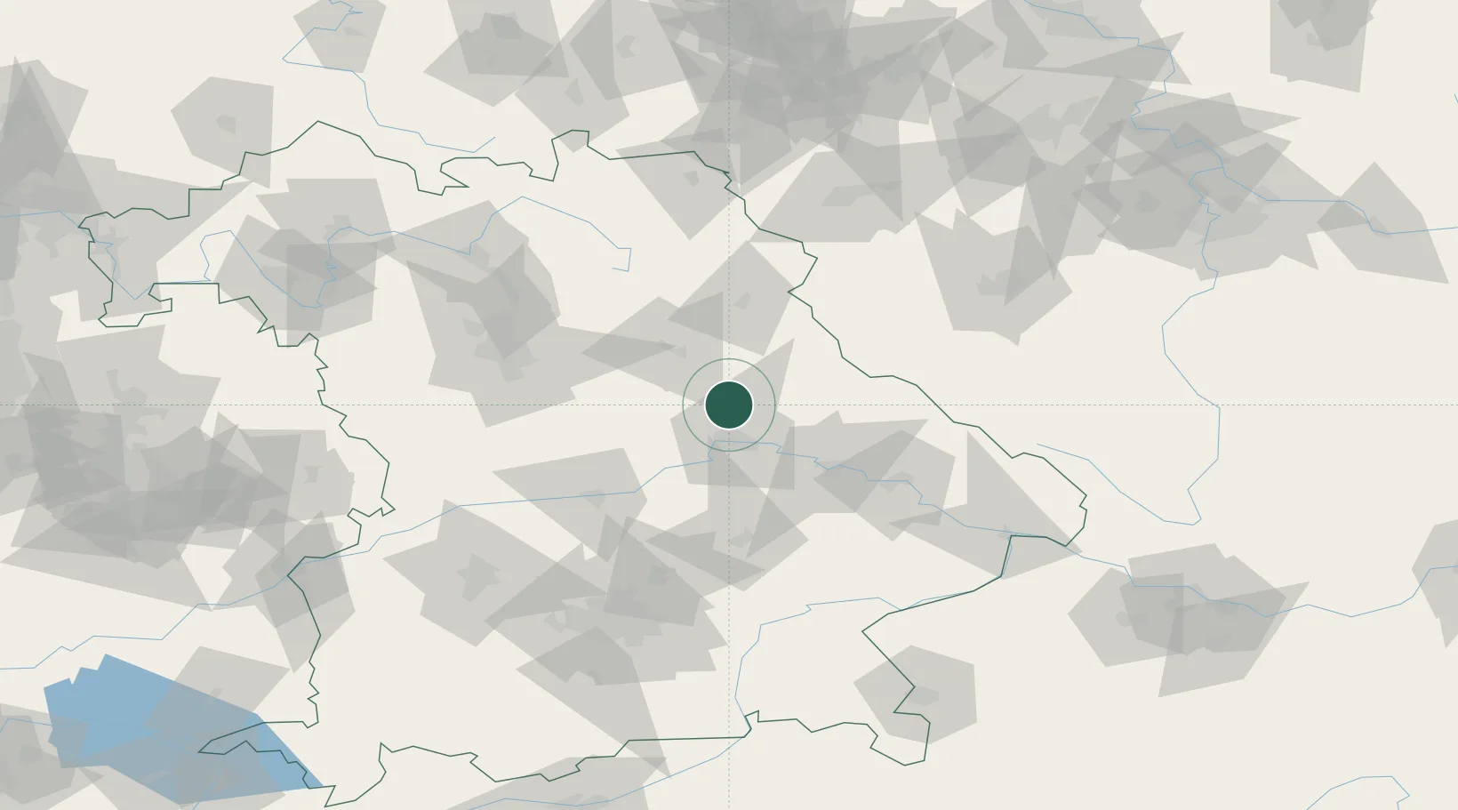
49.2000°, 12.1000°
10,674
Population
2
Transport functions
Transport Functions
Rail
Road
Hub Profile
Place type
Populated place
Region
Bavaria
Population
10,674
Time zone
Europe/Berlin
Elevation
421 m
Location
Nearby Logistics Neighbours
Cities
- 1Teublitz2 km
- 2Burglengenfeld5 km
- 3Bernhardswald16 km
- 4Bodenwöhr16 km
- 5Pettendorf18 km
Ports
- 1Nogaro391 km
- 2Monfalcone395 km
- 3Grado400 km
- 4Trieste414 km
- 5Muggia420 km
Airports
- 1Hohenfels Army Airfield19 km
- 2Grafenwöhr Army Air Field57 km
- 3Ingolstadt Manching Airport68 km
- 4Landshut Airfield77 km
- 5Nuremberg Airport81 km
Trade Zones
DatabookThe Record of Consolidated Knowledge
Germany beyond logistics?