Transport Functions
Rail
Road
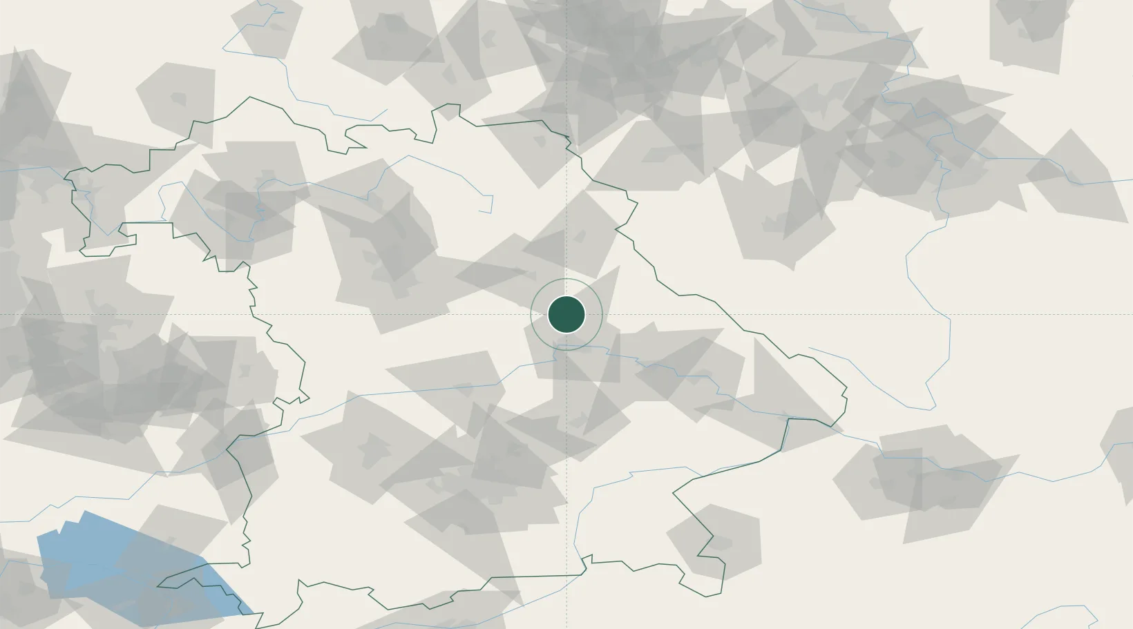
Hub Profile
Place type
Populated place
Region
Bavaria
Population
7,405
Time zone
Europe/Berlin
Elevation
355 m
Location
Nearby Logistics Neighbours
Cities
- 1Maxhütte-Haidhof2 km
- 2Burglengenfeld4 km
- 3Bodenwöhr17 km
- 4Bernhardswald18 km
- 5Raitenbuch19 km
Ports
- 1Nogaro393 km
- 2Monfalcone397 km
- 3Grado402 km
- 4Trieste416 km
- 5Muggia422 km
Airports
- 1Hohenfels Army Airfield18 km
- 2Grafenwöhr Army Air Field55 km
- 3Ingolstadt Manching Airport69 km
- 4Landshut Airfield78 km
- 5Nuremberg Airport79 km
Trade Zones
DatabookThe Record of Consolidated Knowledge
Germany beyond logistics?