Transport Functions
Multimodal
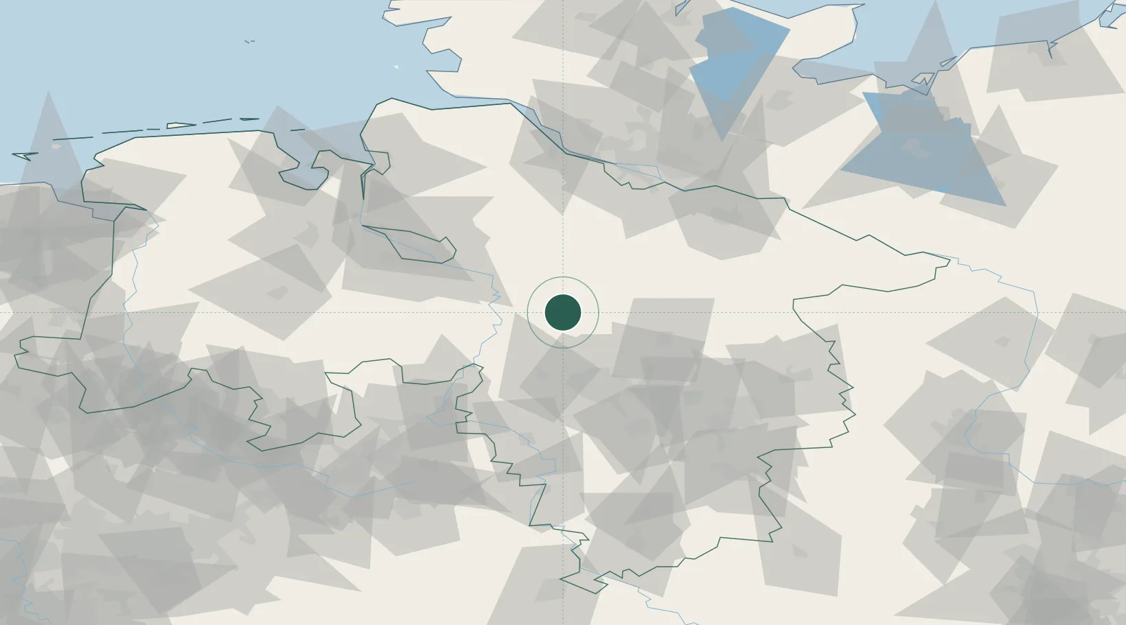
Hub Profile
Place type
Populated place
Region
Lower Saxony
Population
1,573
Time zone
Europe/Berlin
Elevation
25 m
Location
Nearby Logistics Neighbours
Cities
- 1Rethem11 km
- 2Walsrode12 km
- 3Häuslingen12 km
- 4Bad Fallingbostel15 km
- 5Wietze23 km
Airports
- 1Hannover Airport35 km
- 2Wunstorf Air Base35 km
- 3Celle Army Airfield37 km
- 4Faßberg Air Base46 km
- 5Bremen Airport60 km
Trade Zones
DatabookThe Record of Consolidated Knowledge
Germany beyond logistics?