Transport Functions
Road
Multimodal
Hub Profile
Place type
Populated place
Region
Lower Saxony
Time zone
Europe/Berlin
Elevation
48 m
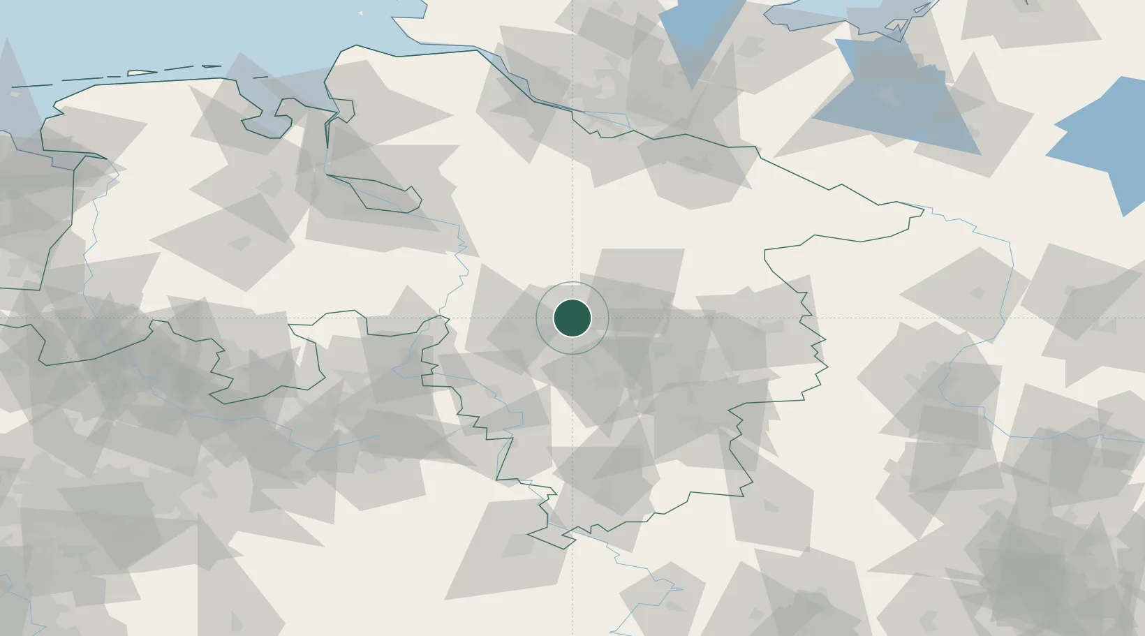
Location
Nearby Logistics Neighbours
Cities
- 1Langenhagen4 km
- 2Brink6 km
- 3Hannover13 km
- 4Misburg14 km
- 5Sehnde16 km
Airports
- 1Hannover Airport6 km
- 2Celle Army Airfield21 km
- 3Wunstorf Air Base23 km
- 4Bückeburg Air Base52 km
- 5Faßberg Air Base56 km
Trade Zones
DatabookThe Record of Consolidated Knowledge
Germany beyond logistics?