Transport Functions
Multimodal
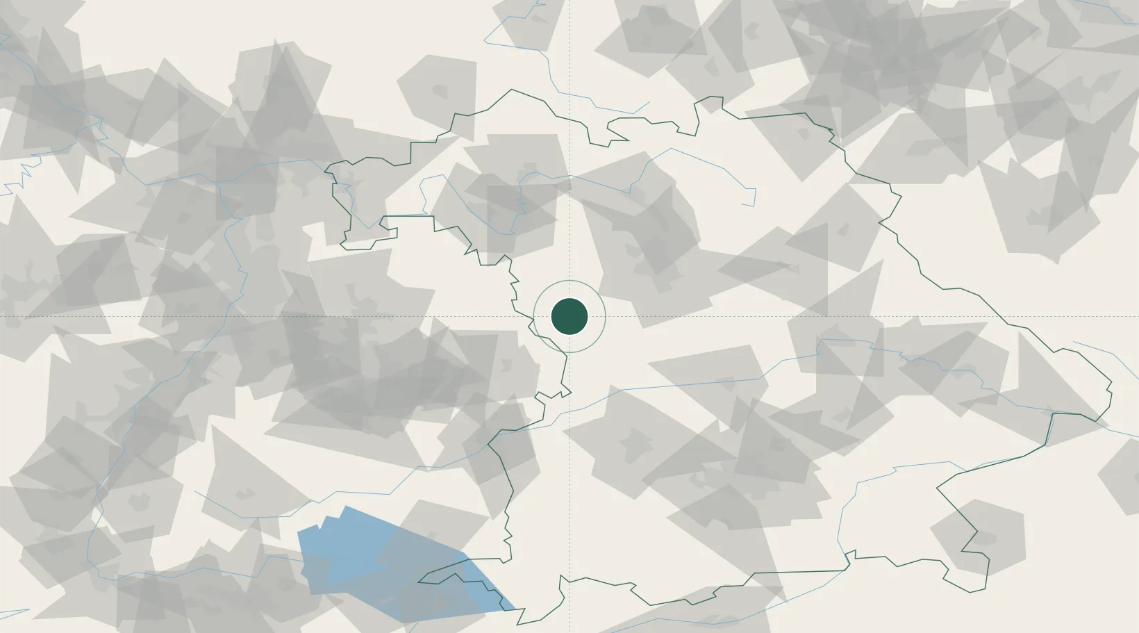
Hub Profile
Place type
Local administrative seat
Region
Bavaria
Time zone
Europe/Berlin
Elevation
462 m
Location
Nearby Logistics Neighbours
Cities
- 1Sulzach10 km
- 2Feuchtwangen11 km
- 3Weiltingen15 km
- 4Leutershausen (Ansbach)16 km
- 5Ansbach17 km
Ports
- 1Nogaro429 km
- 2Grado440 km
- 3Monfalcone441 km
- 4Porto Di Lido-Venezia442 km
- 5Bremen457 km
Airports
- 1Niederstetten Army Air Base46 km
- 2Adolf Würth Airport51 km
- 3Nuremberg Airport57 km
- 4Neuburg Air Base74 km
- 5Augsburg Airport89 km
Trade Zones
- 1Freeport of Deggendorf180 km
- 2ZFU Neuhof211 km
- 3ZFU Hautepierre214 km
- 4Podbořany Industrial Zone241 km
- 5Žatec - Triangle Strategic Industrial Zone258 km
DatabookThe Record of Consolidated Knowledge
Germany beyond logistics?